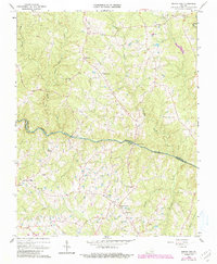
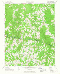
1966 Map of North View
USGS Topo · Published 1990About this map
The Meherrin River serves as the central artery and natural boundary for this section of Southside Virginia, dividing Lunenburg Co and Mecklenburg Co. This 1966 topographic survey, updated in 1990, documents a landscape shaped by rural industry and dispersed settlements like Red Level, Bagleys Mills, and North View. The river's historical importance is underscored by infrastructure such as Whittles Mill and Saffolds Bridge, while the upland terrain is drained by a dense network of waterways including Crooked Creek, Piney Creek, and Bears Element Creek. Genealogists will find significant value in the mapped locations of numerous rural sanctuaries and burial grounds, such as Salem Ch, Flat Rock Ch, and New Grove Cem. These sites, along with small communities like Gary and Ogburn, reveal the social fabric of a region defined by its timbered hills and agricultural heritage.
Find a feature on this map
32 named features on this map. Tap any name to fly to it.
Don’t see what you’re looking for? This feature index may not catch every label — zoom into the map to look around manually.
Map Details
Editions of this 1966 North View Map
4 editions found
Other maps of this area

1953 · Greensboro
USGS Topo · 1:250,000

1954 · Greensboro
USGS Topo · 1:250,000

1955 · Chase City
USGS Topo · 1:62,500

1955 · Kenbridge
USGS Topo · 1:62,500

1955 · Boydton
USGS Topo · 1:62,500

1962 · Greensboro
USGS Topo · 1:250,000

1966 · Greensboro
USGS Topo · 1:250,000
1966 · Wightman
USGS Topo · 1:24,000
1966 · North View
USGS Topo · 1:24,000
1966 · Lunenburg
USGS Topo · 1:24,000