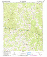
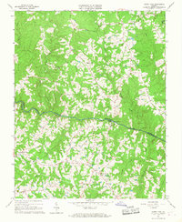
1966 Map of North View
USGS Topo · Published 1992About this map
The Meherrin River meanders across this rural Virginia landscape, serving as the boundary between Lunenburg and Mecklenburg counties. The area is characterized by a network of small, family-centric settlements and agricultural hubs, including Gary, Red Level, and Bagleys Mills. Historic industry and infrastructure are centered on the river, marked by Whittles Mill and its associated Pumping Station and Filtration Plant.
Find a feature on this map
32 named features on this map. Tap any name to fly to it.
Don’t see what you’re looking for? This feature index may not catch every label — zoom into the map to look around manually.
Map Details
Editions of this 1966 North View Map
4 editions found
Other maps of this area

1953 · Greensboro
USGS Topo · 1:250,000

1954 · Greensboro
USGS Topo · 1:250,000

1955 · Chase City
USGS Topo · 1:62,500

1955 · Kenbridge
USGS Topo · 1:62,500

1955 · Boydton
USGS Topo · 1:62,500

1962 · Greensboro
USGS Topo · 1:250,000

1966 · Greensboro
USGS Topo · 1:250,000
1966 · Wightman
USGS Topo · 1:24,000
1966 · North View
USGS Topo · 1:24,000
1966 · Lunenburg
USGS Topo · 1:24,000