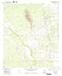
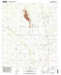
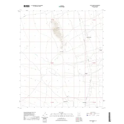
1979 Map of South Komelik
USGS Topo · Published 1979About this map
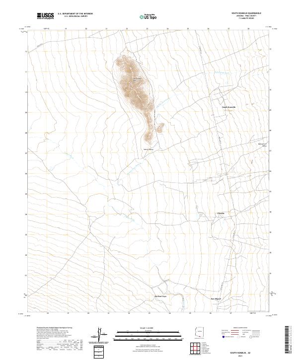
Papago Indian Reservation territory dominates this 1970s landscape, centered on the drainage systems of Vamori Wash and Chutum Vaya Wash. The terrain is defined by the stark rise of Las Animas Mountain, which overlooks the broad expanse of the Vamori Valley to the west and the Baboquivari Valley to the east. Small settlements such as South Komelik, Choulic, and Supi Oidak (Coldfield) are clustered along the eastern valley floor, connected by a network of unimproved roads and a primary north-south thoroughfare. The map reveals a land managed for cattle and resource extraction, dotted with numerous Corral sites, Water Tank landmarks, and several Borrow Pit excavations. Genealogists may find value in the scattered Cem markers and isolated features like Horseshoe Well and Ak Chut Vaya, which signify the dispersed nature of habitation in this desert environment.
Find a feature on this map
16 named features on this map. Tap any name to fly to it.
Don’t see what you’re looking for? This feature index may not catch every label — zoom into the map to look around manually.
Map Details
Editions of this 1979 South Komelik Map
This is the sole edition of this map. No revisions or reprints were ever made.
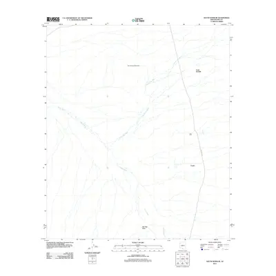
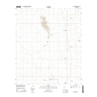
Historical Maps of Topawa Through Time
6 maps found
Featured Locations
- Chukut Kuk District, AZ
- Topawa, AZ
- South Komelik, Topawa
- Choulic, Topawa
- Ak Chut Vaya, Chukut Kuk District