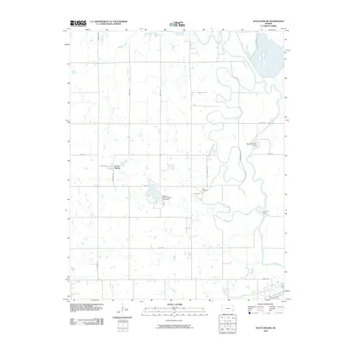
2010 Map of South Mound
USGS Topo · Published 2010About this map
The Neosho River winds through this Neosho County landscape, creating a complex series of oxbows and meanders that define the local geography. Significant hydraulic management is evident near Lake McKinley, where the Neosho County State Park Dam regulates the local waters. The small settlement of South Mound serves as a central point in this rural area, situated at the intersection of several local routes like 47th Rd and Republic Rd. Genealogists and local historians will find the Brown Cemetery located just west of the river, a key landmark for tracing area families. To the south, the Parsons Dam further illustrates the engineering efforts to harness the river's flow. Tributaries such as Bachelor Creek and Tolen Creek feed into the main waterway, supporting a landscape predominantly structured by a rigid section-line road grid that overlays the natural curves of the Neosho.
Find a feature on this map
22 named features on this map. Tap any name to fly to it.
Don’t see what you’re looking for? This feature index may not catch every label — zoom into the map to look around manually.
Map Details
Editions of this 2010 South Mound Map
This is the sole edition of this map. No revisions or reprints were ever made.
Other maps of this area

1886 · Iola
USGS Topo · 1:125,000

1886 · Parsons
USGS Topo · 1:125,000

1893 · Iola
USGS Topo · 1:125,000

1893 · Parsons
USGS Topo · 1:125,000

1904 · Iola
USGS Topo · 1:125,000

1943 · McCune
USGS Topo · 1:62,500

1945 · Mc Cune
USGS Topo · 1:62,500

1945 · Parsons
USGS Topo · 1:62,500

1946 · Parsons
USGS Topo · 1:62,500

1947 · Parsons
USGS Topo · 1:62,500