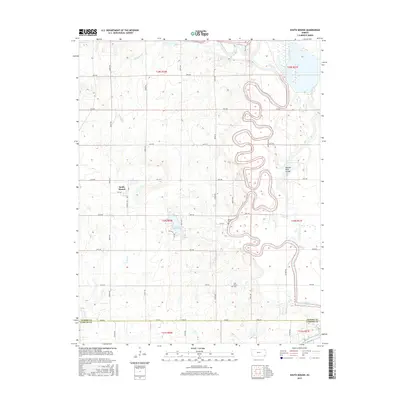
2015 Map of South Mound
USGS Topo · Published 2015About this map
South Mound sits near the western edge of this landscape where the undulating plains of Kansas meet the complex oxbows of the Neosho River. The river's meandering course dominates the eastern half of the map, characterized by dramatic loops and a distinct Neosho River Cutoff that illustrate the dynamic nature of this waterway. The rural character is defined by a rigorous grid of section-line roads, including Queen Rd and Victory Rd, which navigate around drainage features like Bachelor Cr and Tolen Cr. For local historians and genealogists, the map preserves the location of Brown Cem and Oak Grove Cem, alongside small water bodies such as Lake McKinley. This 2015 survey provides a snapshot of agricultural land use and natural water management in the region spanning the Neosho and Labette county line.
Find a feature on this map
35 named features on this map. Tap any name to fly to it.
Don’t see what you’re looking for? This feature index may not catch every label — zoom into the map to look around manually.
Map Details
Editions of this 2015 South Mound Map
This is the sole edition of this map. No revisions or reprints were ever made.
Other maps of this area

1886 · Iola
USGS Topo · 1:125,000

1886 · Parsons
USGS Topo · 1:125,000

1893 · Iola
USGS Topo · 1:125,000

1893 · Parsons
USGS Topo · 1:125,000

1904 · Iola
USGS Topo · 1:125,000

1943 · McCune
USGS Topo · 1:62,500

1945 · Mc Cune
USGS Topo · 1:62,500

1945 · Parsons
USGS Topo · 1:62,500

1946 · Parsons
USGS Topo · 1:62,500

1947 · Parsons
USGS Topo · 1:62,500