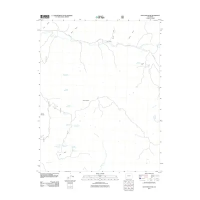
2011 Map of South Mountain
USGS Topo · Published 2011About this map
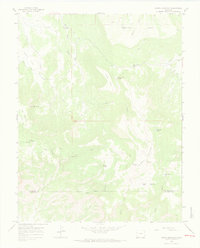
South Mountain and Thomas Mountain dominate the high-elevation landscape of this 2011 survey, where the drainages of Disappointment Creek and Plateau Creek define the movement of water across the terrain. The area is characterized by a high density of small-scale water management features, including a network of upland reservoirs such as Island Reservoir, Dead Doe Reservoir, and the Lone Mesa Number Two Reservoir. These catchments, along with Lone Mesa Spring Number 1 and Browning Spring, suggest a landscape historically shaped by livestock grazing and seasonal land use.
Find a feature on this map
27 named features on this map. Tap any name to fly to it.
Don’t see what you’re looking for? This feature index may not catch every label — zoom into the map to look around manually.
Map Details
Editions of this 2011 South Mountain Map
This is the sole edition of this map. No revisions or reprints were ever made.
Other maps of this area

1956 · Cortez
USGS Topo · 1:250,000

1958 · Cortez
USGS Topo · 1:250,000

1959 · Cortez
USGS Topo · 1:250,000

1962 · Cortez
USGS Topo · 1:250,000
1963 · Nipple Mountain
USGS Topo · 1:24,000
1964 · Groundhog Reservoir
USGS Topo · 1:24,000
1964 · Lone Cone
USGS Topo · 1:24,000

1964 · Glade Mountain
USGS Topo · 1:24,000
1964 · North Mountain
USGS Topo · 1:24,000

1964 · Mc Kenna Peak
USGS Topo · 1:24,000