
1964 Map of Glade Mountain
USGS Topo · Published 1968About this map
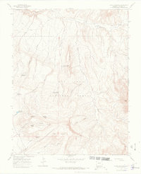
San Juan National Forest defines the character of this high-elevation landscape in Dolores County, where water management is central to the land's utility. The terrain is marked by a series of high ridges and deep draws, notably The Hogback and the prominent Glade Mountain. Scattered throughout these heights are vital water sources and catchments, including Glade Mtn Spring, Manaugh Spring, and several remote reservoirs such as McKinney Reservoir and Snag Reservoir.
Find a feature on this map
31 named features on this map. Tap any name to fly to it.
Don’t see what you’re looking for? This feature index may not catch every label — zoom into the map to look around manually.
Map Details
Editions of this 1964 Glade Mountain Map
4 editions found
Other maps of this area

1956 · Cortez
USGS Topo · 1:250,000

1958 · Cortez
USGS Topo · 1:250,000

1959 · Cortez
USGS Topo · 1:250,000

1962 · Cortez
USGS Topo · 1:250,000
1964 · Dawson Draw
USGS Topo · 1:24,000
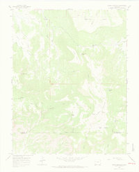
1964 · North Mountain
USGS Topo · 1:24,000

1964 · Mc Kenna Peak
USGS Topo · 1:24,000

1964 · The Glade
USGS Topo · 1:24,000
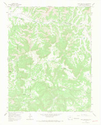
1964 · South Mountain
USGS Topo · 1:24,000

1965 · Willow Spring
USGS Topo · 1:24,000