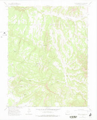
1964 Map of Glade Mountain
USGS Topo · Published 1978About this map
San Juan National Forest lands dominate this high-altitude landscape in Dolores County, where a network of remote water management features served the cattle and sheep ranching interests of the mid-20th century. The topography is defined by the prominent Glade Mountain and the sharp rise of The Hogback, with numerous drainage systems like McKinney Draw and Willow Draw carving through the terrain. Evidence of seasonal grazing and forest management appears in the form of several small impoundments, including Disappointment Reservoir No 1 and Snag Reservoir. The map identifies critical water sources such as Glade Mtn Spring and Bradfield Spring, which supported livestock movement through the timber. A notable Lookout Tower sits atop the mountain summit, providing a central point for fire surveillance over the surrounding canyons and gulches, while The Glade trail offers a path through this high plateau.
Find a feature on this map
30 named features on this map. Tap any name to fly to it.
Don’t see what you’re looking for? This feature index may not catch every label — zoom into the map to look around manually.
Map Details
Editions of this 1964 Glade Mountain Map
4 editions found
Other maps of this area

1956 · Cortez
USGS Topo · 1:250,000

1958 · Cortez
USGS Topo · 1:250,000

1959 · Cortez
USGS Topo · 1:250,000

1962 · Cortez
USGS Topo · 1:250,000
1964 · Dawson Draw
USGS Topo · 1:24,000

1964 · Glade Mountain
USGS Topo · 1:24,000
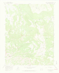
1964 · North Mountain
USGS Topo · 1:24,000

1964 · Mc Kenna Peak
USGS Topo · 1:24,000

1964 · The Glade
USGS Topo · 1:24,000
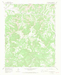
1964 · South Mountain
USGS Topo · 1:24,000