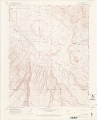
1964 Map of Dawson Draw
USGS Topo · Published 1968About this map
Disappointment Creek snakes through the center of this 1964 survey, defining a drainage system that dominates the arid landscape of the San Miguel and Dolores county line. The map highlights early water management efforts in the region, specifically Horseshoe Ditch and Custer Ditch, which were critical for ranching or agricultural operations in this high-altitude environment. The terrain transitions from the low Valley floor near Daddy Williams Bridge to the steep, dissected uplands of the Uncompahgre National Forest and San Juan National Forest. The presence of several named draws and canyons, including Andy Draw, Dawson Draw, and Pine Canyon, reveals a complex topography of erosion. Traces of human activity are sparse but significant, marked by a network of Pack Trails and Jeep Trails that provided essential access through the basins and canyons during the mid-20th century.
Find a feature on this map
22 named features on this map. Tap any name to fly to it.
Don’t see what you’re looking for? This feature index may not catch every label — zoom into the map to look around manually.
Map Details
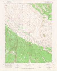
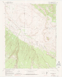
Editions of this 1964 Dawson Draw Map
3 editions found
Other maps of this area

1916 · Paradox Valley
USGS Topo · 1:125,000

1922 · Paradox Valley
USGS Topo · 1:125,000

1948 · Hamm Canyon
USGS Topo · 1:24,000

1948 · Gypsum Gap
USGS Topo · 1:24,000

1949 · Gypsum Gap
USGS Topo · 1:24,000

1949 · Joe Davis Hill
USGS Topo · 1:24,000
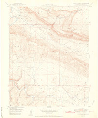
1950 · Hamm Canyon
USGS Topo · 1:24,000

1950 · Joe Davis Hill
USGS Topo · 1:24,000

1956 · Cortez
USGS Topo · 1:250,000

1956 · Moab
USGS Topo · 1:250,000