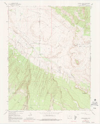
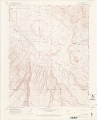
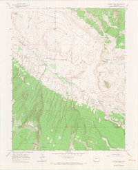
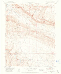
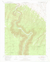
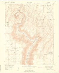
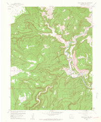
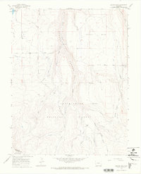
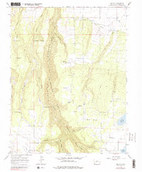
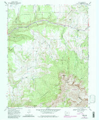
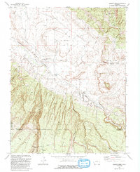
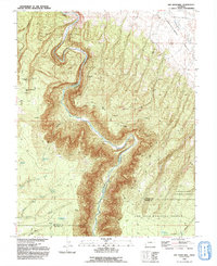
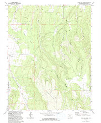
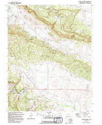
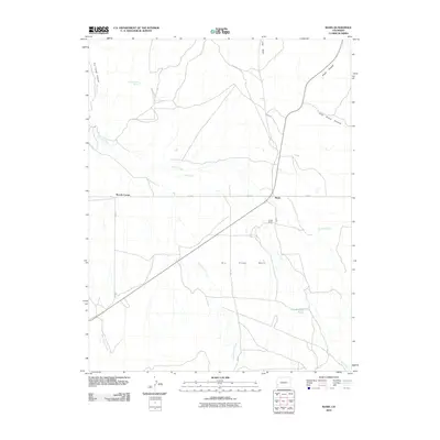
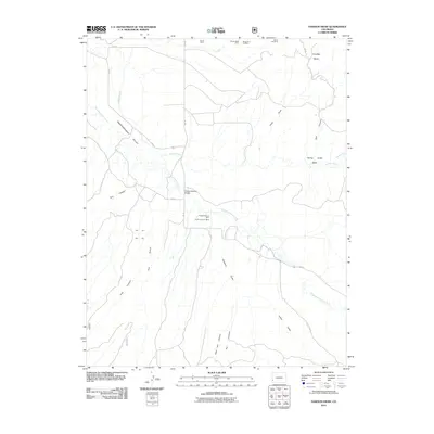
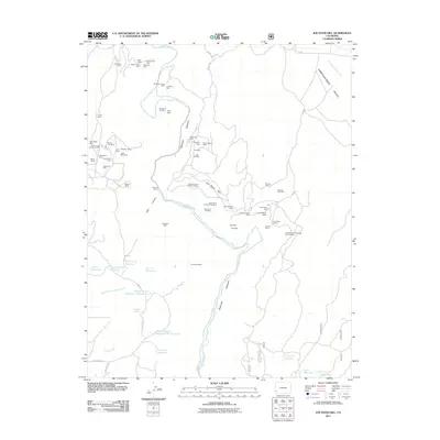
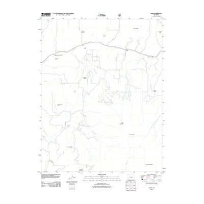
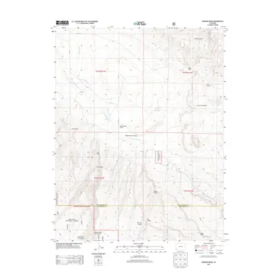
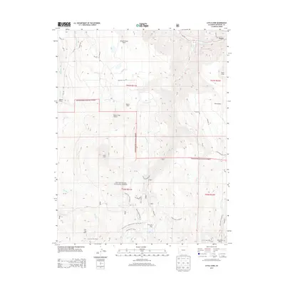
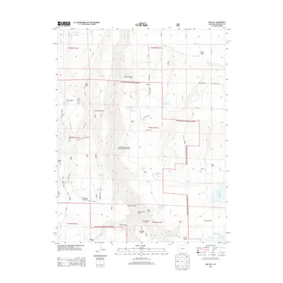
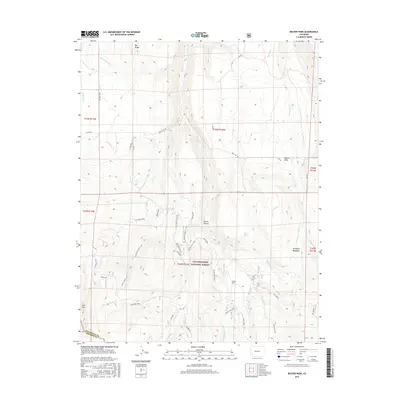
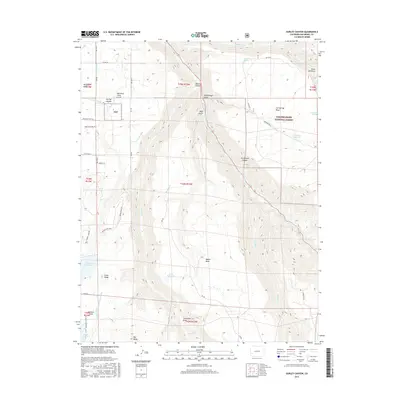
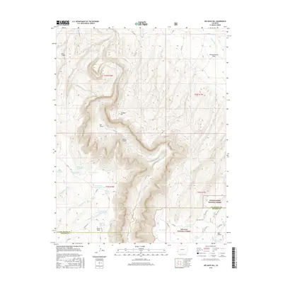
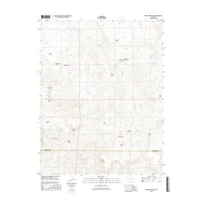
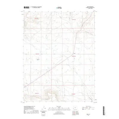
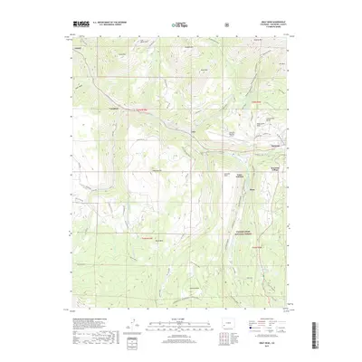
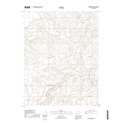
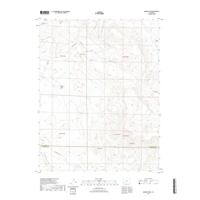
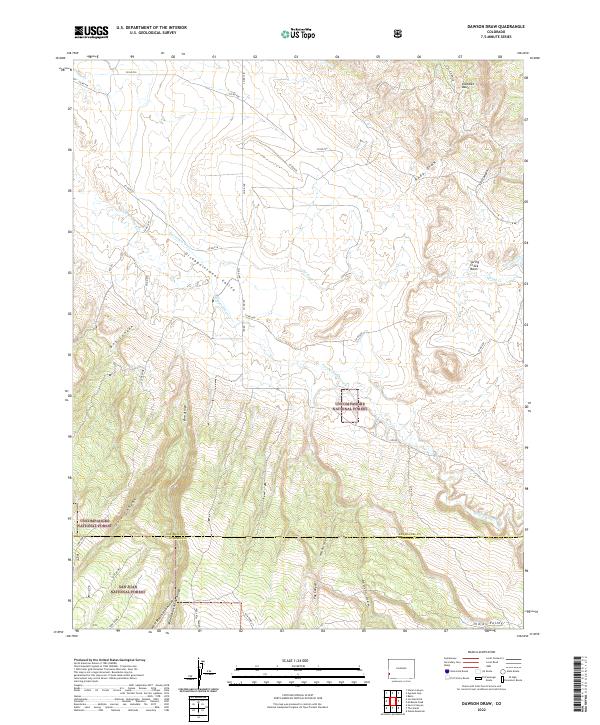
1964 Map of Dawson Draw
USGS Topo · Published 1991About this map
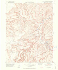
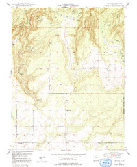
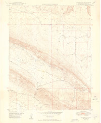
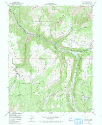
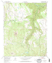
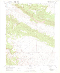
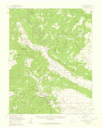
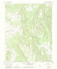
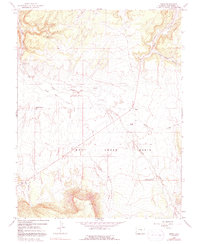
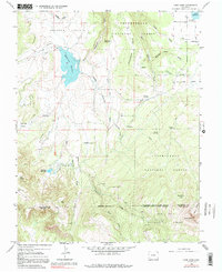
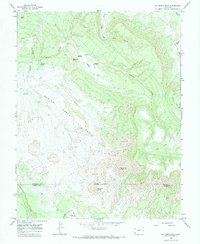
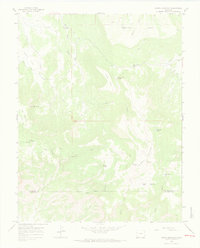
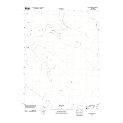
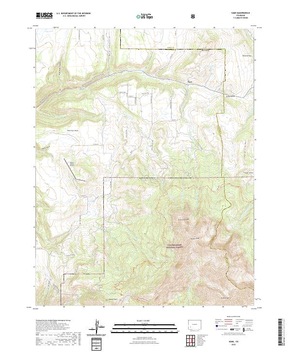
Disappointment Valley dominates this landscape on the boundary of San Miguel and Dolores counties, where the high desert meets the wooded fringes of the Uncompahgre National Forest and San Juan National Forest. Water management is central to the area's utility, evidenced by irrigation infrastructure like the Horseshoe Ditch and Guster Ditch that cut across the arid terrain. The map records localized landmarks such as the Daddy Williams Bridge, providing a specific geographic anchor for the region's historical ranching or transport routes. Between the sharp drainages of Dawson Draw and the elevation of Klondike Basin, the map illustrates a transition from alluvial flats to the deeply incised canyons typical of the Colorado Plateau, including Wolf Den Canyon and Box Canyon.
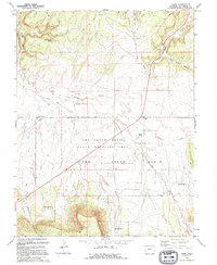
Find a feature on this map
23 named features on this map. Tap any name to fly to it.
Don’t see what you’re looking for? This feature index may not catch every label — zoom into the map to look around manually.
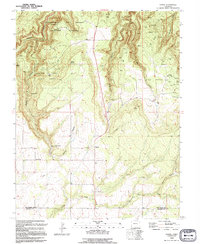
Map Details
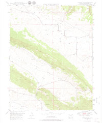
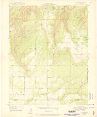
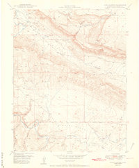
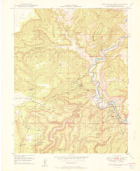
Editions of this 1964 Dawson Draw Map
3 editions found
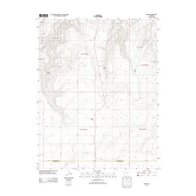
Historical Maps of Dolores County Through Time
120 maps found
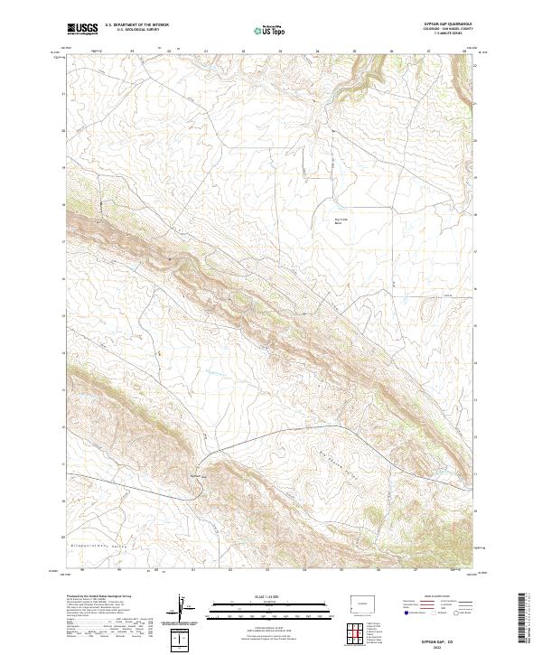
1948 Gypsum Gap
San Miguel County, CO
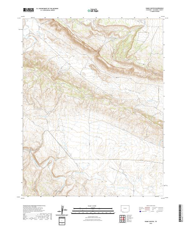
1948 Hamm Canyon
San Miguel County, CO
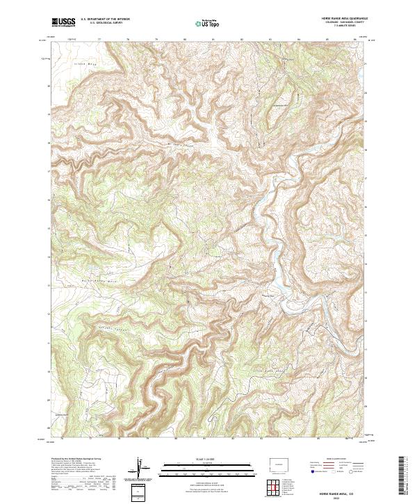
1948 Horse Range Mesa
San Miguel County, CO
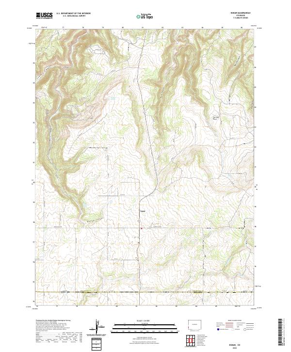
1949 Egnar
San Miguel County, CO
1949 Gypsum Gap
San Miguel County, CO
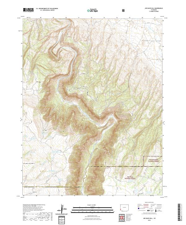
1949 Joe Davis Hill
San Miguel County, CO
1950 Egnar
San Miguel County, CO
1950 Hamm Canyon
San Miguel County, CO
1950 Horse Range Mesa
San Miguel County, CO
1950 Joe Davis Hill
San Miguel County, CO
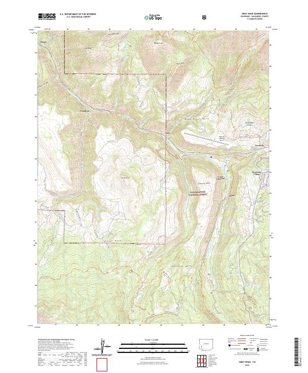
1953 Gray Head
San Miguel County, CO
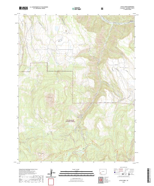
1953 Little Cone
San Miguel County, CO
1960 Hamm Canyon
San Miguel County, CO
1960 Horse Range Mesa
San Miguel County, CO
1960 Slick Rock
San Miguel County, CO
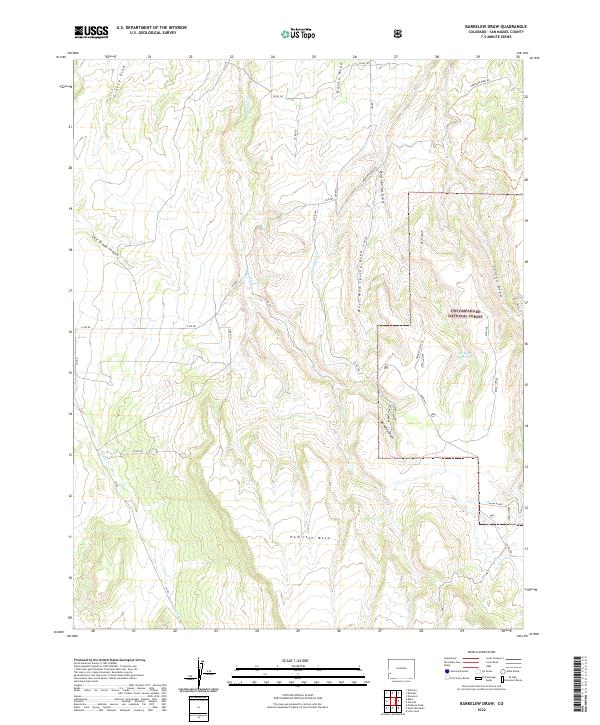
1964 Barkelew Draw
San Miguel County, CO
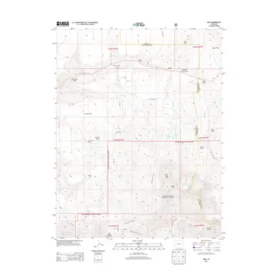
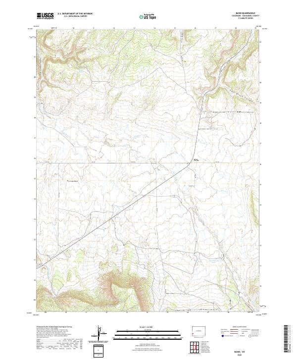
1964 Basin
San Miguel County, CO
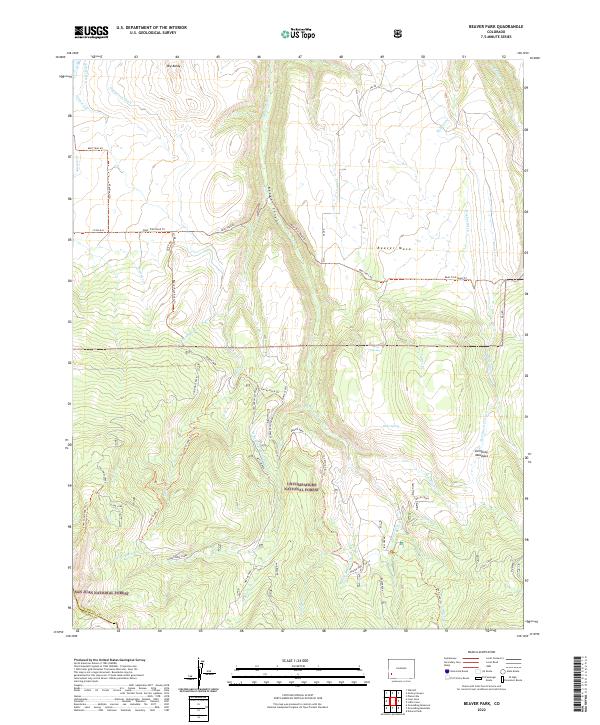
1964 Beaver Park
San Miguel County, CO
1964 Dawson Draw
San Miguel County, CO

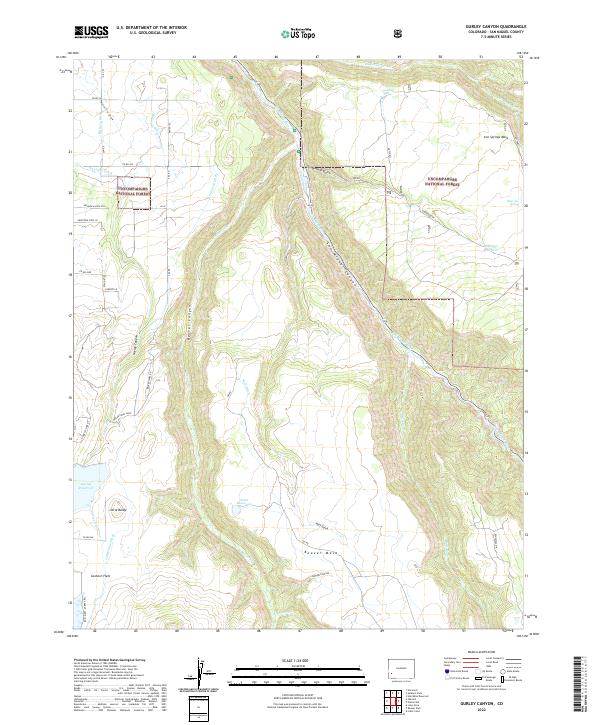
1964 Gurley Canyon
San Miguel County, CO
1964 Lone Cone
San Miguel County, CO
1964 Mc Kenna Peak
San Miguel County, CO
1964 North Mountain
San Miguel County, CO
1964 Oak Hill
San Miguel County, CO
1967 Sams
San Miguel County, CO
1993 Dawson Draw
San Miguel County, CO
1993 Joe Davis Hill
San Miguel County, CO
1994 Barkelew Draw
San Miguel County, CO
1994 Basin
San Miguel County, CO
1994 Egnar
San Miguel County, CO
1994 Gypsum Gap
San Miguel County, CO
1994 Hamm Canyon
San Miguel County, CO
1994 Horse Range Mesa
San Miguel County, CO
1994 Mc Kenna Peak
San Miguel County, CO
1994 North Mountain
San Miguel County, CO
2010 Basin
San Miguel County, CO
2010 Egnar
San Miguel County, CO
2010 Gypsum Gap
San Miguel County, CO
2010 Hamm Canyon
San Miguel County, CO
2010 McKenna Peak
San Miguel County, CO
2010 North Mountain
San Miguel County, CO
2011 Barkelew Draw
San Miguel County, CO
2011 Beaver Park
San Miguel County, CO
2011 Dawson Draw
San Miguel County, CO
2011 Gray Head
San Miguel County, CO
2011 Gurley Canyon
San Miguel County, CO
2011 Horse Range Mesa
San Miguel County, CO
2011 Joe Davis Hill
San Miguel County, CO
2011 Little Cone
San Miguel County, CO
2011 Lone Cone
San Miguel County, CO
2011 Oak Hill
San Miguel County, CO
2011 Sams
San Miguel County, CO
2013 Barkelew Draw
San Miguel County, CO
2013 Basin
San Miguel County, CO
2013 Beaver Park
San Miguel County, CO
2013 Dawson Draw
San Miguel County, CO
2013 Egnar
San Miguel County, CO
2013 Gray Head
San Miguel County, CO
2013 Gurley Canyon
San Miguel County, CO
2013 Gypsum Gap
San Miguel County, CO
2013 Hamm Canyon
San Miguel County, CO
2013 Horse Range Mesa
San Miguel County, CO
2013 Joe Davis Hill
San Miguel County, CO
2013 Little Cone
San Miguel County, CO
2013 Lone Cone
San Miguel County, CO
2013 McKenna Peak
San Miguel County, CO
2013 North Mountain
San Miguel County, CO
2013 Oak Hill
San Miguel County, CO
2013 Sams
San Miguel County, CO
2016 Barkelew Draw
San Miguel County, CO
2016 Basin
San Miguel County, CO
2016 Beaver Park
San Miguel County, CO
2016 Dawson Draw
San Miguel County, CO
2016 Egnar
San Miguel County, CO
2016 Gray Head
San Miguel County, CO
2016 Gurley Canyon
San Miguel County, CO
2016 Gypsum Gap
San Miguel County, CO
2016 Hamm Canyon
San Miguel County, CO
2016 Horse Range Mesa
San Miguel County, CO
2016 Joe Davis Hill
San Miguel County, CO
2016 Little Cone
San Miguel County, CO
2016 Lone Cone
San Miguel County, CO
2016 McKenna Peak
San Miguel County, CO
2016 North Mountain
San Miguel County, CO
2016 Oak Hill
San Miguel County, CO
2016 Sams
San Miguel County, CO
2019 Barkelew Draw
San Miguel County, CO
2019 Basin
San Miguel County, CO
2019 Beaver Park
San Miguel County, CO
2019 Dawson Draw
San Miguel County, CO
2019 Egnar
San Miguel County, CO
2019 Gray Head
San Miguel County, CO
2019 Gurley Canyon
San Miguel County, CO
2019 Gypsum Gap
San Miguel County, CO
2019 Hamm Canyon
San Miguel County, CO
2019 Horse Range Mesa
San Miguel County, CO
2019 Joe Davis Hill
San Miguel County, CO
2019 Little Cone
San Miguel County, CO
2019 Lone Cone
San Miguel County, CO
2019 McKenna Peak
San Miguel County, CO
2019 North Mountain
San Miguel County, CO
2019 Oak Hill
San Miguel County, CO
2019 Sams
San Miguel County, CO
2022 Barkelew Draw
San Miguel County, CO
2022 Basin
San Miguel County, CO
2022 Beaver Park
San Miguel County, CO
2022 Dawson Draw
San Miguel County, CO
2022 Egnar
San Miguel County, CO
2022 Gray Head
San Miguel County, CO
2022 Gurley Canyon
San Miguel County, CO
2022 Gypsum Gap
San Miguel County, CO
2022 Hamm Canyon
San Miguel County, CO
2022 Horse Range Mesa
San Miguel County, CO
2022 Joe Davis Hill
San Miguel County, CO
2022 Little Cone
San Miguel County, CO
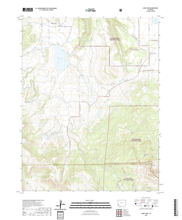
2022 Lone Cone
San Miguel County, CO
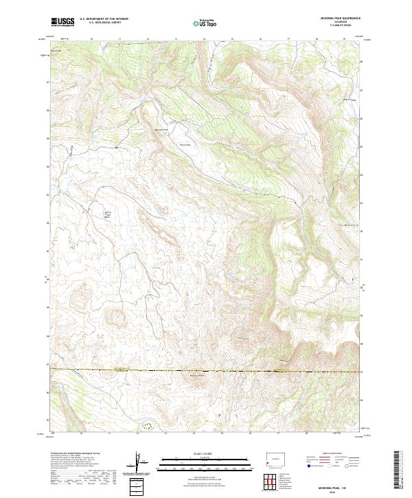
2022 McKenna Peak
San Miguel County, CO
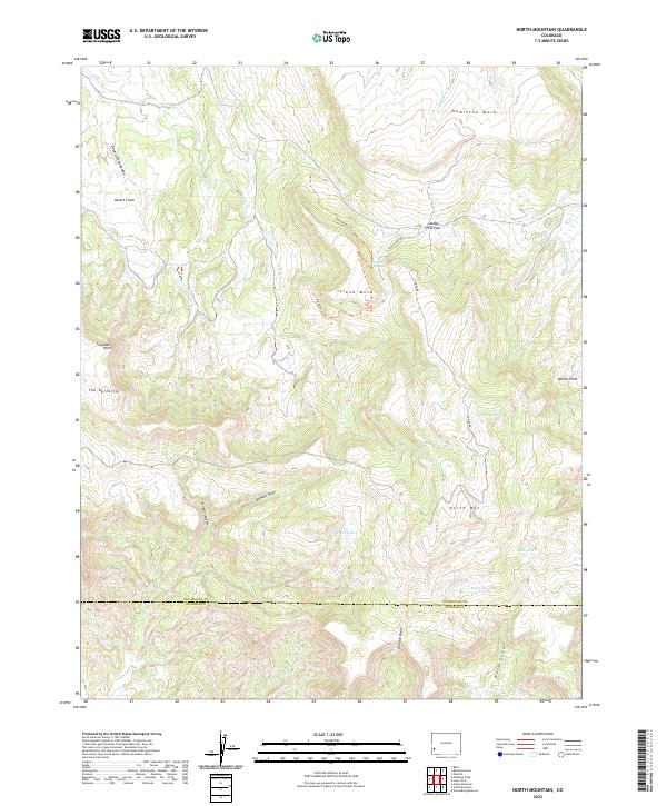
2022 North Mountain
San Miguel County, CO
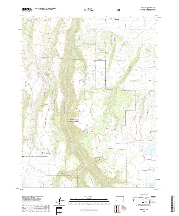
2022 Oak Hill
San Miguel County, CO
2022 Sams
San Miguel County, CO