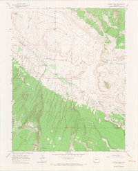
1964 Map of Dawson Draw
USGS Topo · Published 1968About this map
Disappointment Valley dominates the northern half of this landscape, a remote stretch of western Colorado defined by its complex drainage systems and high-desert terrain. In the early 1960s, the area remained largely inaccessible, marked by a network of a Pack Trail and Jeep Trail that navigated the steep descents into Disappointment Creek. The map captures the meeting of two significant federal lands, where the Uncompahgre National Forest gives way to the San Juan National Forest at the San Miguel and Dolores county line.
Find a feature on this map
24 named features on this map. Tap any name to fly to it.
Don’t see what you’re looking for? This feature index may not catch every label — zoom into the map to look around manually.
Map Details
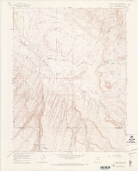
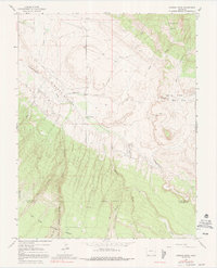
Editions of this 1964 Dawson Draw Map
3 editions found
Other maps of this area

1916 · Paradox Valley
USGS Topo · 1:125,000

1922 · Paradox Valley
USGS Topo · 1:125,000

1948 · Hamm Canyon
USGS Topo · 1:24,000

1948 · Gypsum Gap
USGS Topo · 1:24,000

1949 · Gypsum Gap
USGS Topo · 1:24,000

1949 · Joe Davis Hill
USGS Topo · 1:24,000
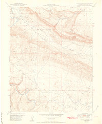
1950 · Hamm Canyon
USGS Topo · 1:24,000

1950 · Joe Davis Hill
USGS Topo · 1:24,000

1956 · Cortez
USGS Topo · 1:250,000

1956 · Moab
USGS Topo · 1:250,000