
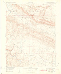
1950 Map of Joe Davis Hill
USGS Topo · Published 1950About this map
The Dolores River carves a dramatic path through this high-altitude landscape on the boundary of San Miguel and Dolores counties. Published in conjunction with the United States Atomic Energy Commission, the map reveals an active post-war mining environment in the late 1940s. Several specific claims are noted along the river bluffs and canyons, including the Sarah Ellen Mine, Uncle Sam Mine, and Mucho Grande Mine.
Find a feature on this map
31 named features on this map. Tap any name to fly to it.
Don’t see what you’re looking for? This feature index may not catch every label — zoom into the map to look around manually.
Map Details
Editions of this 1950 Joe Davis Hill Map
2 editions found

Other maps of this area

1916 · Paradox Valley
USGS Topo · 1:125,000

1922 · Paradox Valley
USGS Topo · 1:125,000

1948 · Horse Range Mesa
USGS Topo · 1:24,000

1948 · Hamm Canyon
USGS Topo · 1:24,000

1948 · Gypsum Gap
USGS Topo · 1:24,000

1949 · Gypsum Gap
USGS Topo · 1:24,000

1949 · Egnar
USGS Topo · 1:24,000

1949 · Joe Davis Hill
USGS Topo · 1:24,000

1950 · Horse Range Mesa
USGS Topo · 1:24,000
1950 · Hamm Canyon
USGS Topo · 1:24,000