
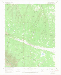
1964 Map of The Glade
USGS Topo · Published 1968About this map
San Juan National Forest defines this high-plateau landscape in western Colorado, where a network of seasonal water sources and stock tanks supported the region's ranching and land management during the mid-1960s. The topography is dominated by extensive tablelands like The Glade and Glade Point, carved by deep drainage systems such as Dawson Draw and Bill Canyon. These geographic features are punctuated by numerous small-scale water improvements, including the Wolf Den Reservoir, Evans Reservoir, and Pat Canyon Reservoir, which reflect the essential infrastructure of a semi-arid rangeland.
Find a feature on this map
67 named features on this map. Tap any name to fly to it.
Don’t see what you’re looking for? This feature index may not catch every label — zoom into the map to look around manually.
Map Details
Editions of this 1964 The Glade Map
3 editions found
Other maps of this area

1949 · Joe Davis Hill
USGS Topo · 1:24,000

1950 · Joe Davis Hill
USGS Topo · 1:24,000

1956 · Cortez
USGS Topo · 1:250,000

1958 · Cortez
USGS Topo · 1:250,000

1959 · Cortez
USGS Topo · 1:250,000

1962 · Cortez
USGS Topo · 1:250,000
1964 · Dawson Draw
USGS Topo · 1:24,000

1964 · Glade Mountain
USGS Topo · 1:24,000

1964 · Mc Kenna Peak
USGS Topo · 1:24,000
1964 · Secret Canyon
USGS Topo · 1:24,000