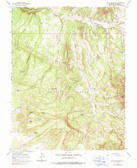
1964 Map of Glade Mountain
USGS Topo · Published 1990About this map
Glade Mountain and its surrounding drainage systems define this mid-century landscape within the San Juan National Forest. The area is characterized by an intricate network of draws and creeks, including Disappointment Creek and Mc Kinney Creek, which flow through a terrain marked by distinctive geological features like The Hogback. The map documents a carefully managed upland environment where water resources are harnessed through numerous small catchments such as Snag Reservoir, McKinney Reservoir, and Beef Trail Reservoir.
Find a feature on this map
31 named features on this map. Tap any name to fly to it.
Don’t see what you’re looking for? This feature index may not catch every label — zoom into the map to look around manually.
Map Details
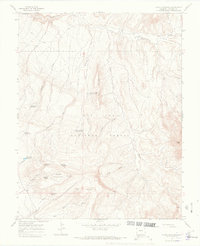
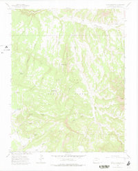
Editions of this 1964 Glade Mountain Map
4 editions found
Other maps of this area

1956 · Cortez
USGS Topo · 1:250,000

1958 · Cortez
USGS Topo · 1:250,000

1959 · Cortez
USGS Topo · 1:250,000

1962 · Cortez
USGS Topo · 1:250,000
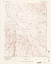
1964 · Dawson Draw
USGS Topo · 1:24,000

1964 · Glade Mountain
USGS Topo · 1:24,000
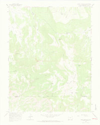
1964 · North Mountain
USGS Topo · 1:24,000

1964 · Mc Kenna Peak
USGS Topo · 1:24,000

1964 · The Glade
USGS Topo · 1:24,000
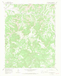
1964 · South Mountain
USGS Topo · 1:24,000