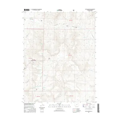
2016 Map of South Mountain
USGS Topo · Published 2016About this map
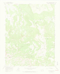
South Mountain and the high plateaus of Dolores County define this high-altitude landscape within the San Juan National Forest. The map reveals a complex network of water management features, including the Lone Mesa Reservoir, Garner Reservoir, and Black Jack Reservoir, reflecting the necessity of irrigation and livestock watering in this arid upland environment. Along the northern edge, Disappointment Rd parallels Disappointment Cr, connecting the remote Nash Cem with local draws like Warden Draw. Significant topographical landmarks such as Thomas Mtn and Belmear Mtn overlook a series of creeks and washes, including Plateau Cr and Alkali Wash. The settlement of Lone Mesa serves as a central point in this sparsely populated territory where forest roads like Ryman Crk Rd navigate the rugged drainage basins.
Find a feature on this map
39 named features on this map. Tap any name to fly to it.
Don’t see what you’re looking for? This feature index may not catch every label — zoom into the map to look around manually.
Map Details
Editions of this 2016 South Mountain Map
This is the sole edition of this map. No revisions or reprints were ever made.
Other maps of this area

1956 · Cortez
USGS Topo · 1:250,000

1958 · Cortez
USGS Topo · 1:250,000

1959 · Cortez
USGS Topo · 1:250,000

1962 · Cortez
USGS Topo · 1:250,000
1963 · Nipple Mountain
USGS Topo · 1:24,000
1964 · Groundhog Reservoir
USGS Topo · 1:24,000
1964 · Lone Cone
USGS Topo · 1:24,000

1964 · Glade Mountain
USGS Topo · 1:24,000
1964 · North Mountain
USGS Topo · 1:24,000

1964 · Mc Kenna Peak
USGS Topo · 1:24,000