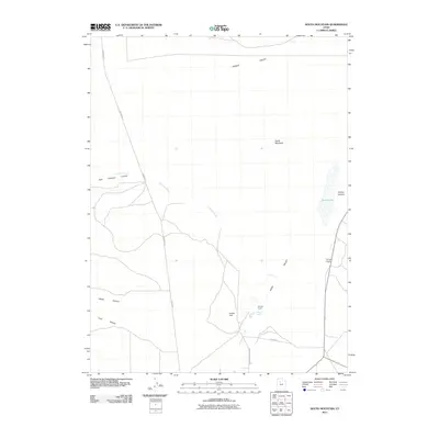
2011 Map of South Mountain
USGS Topo · Published 2011About this map
Mormon Trl carves a diagonal path through the high desert landscape between Tooele Valley and Rush Valley, tracing a historical corridor of movement across the northern base of South Mountain. This 2011 survey illustrates the sparse settlement patterns typical of this part of Tooele County, where isolated outposts like Youngs Ranch and Morgan Ranch sit near vital water sources. The map highlights the hydrology of the arid basin, from the seasonal expanse of Rush Lake to the localized drainage of Hickman Creek and the thermal presence of Warm Spring near Indian Hill. The interface between the valley floor and the surrounding peaks is defined by narrow passages such as Soldier Canyon and Welch Canyon, which have long served as natural conduits for infrastructure and travel.
Find a feature on this map
18 named features on this map. Tap any name to fly to it.
Don’t see what you’re looking for? This feature index may not catch every label — zoom into the map to look around manually.
Map Details
Editions of this 2011 South Mountain Map
This is the sole edition of this map. No revisions or reprints were ever made.
Other maps of this area

1885 · Tooele Valley
USGS Topo · 1:250,000

1918 · Stockton
USGS Topo · 1:62,500

1953 · Tooele
USGS Topo · 1:250,000

1955 · Timpie
USGS Topo · 1:62,500

1955 · Deseret Peak
USGS Topo · 1:62,500

1955 · Grantsville
USGS Topo · 1:24,000

1955 · Stockton
USGS Topo · 1:62,500

1955 · Tooele
USGS Topo · 1:250,000

1955 · Tooele
USGS Topo · 1:24,000

1979 · Rush Valley
USGS Topo · 1:100,000