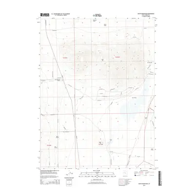
2014 Map of South Mountain
USGS Topo · Published 2014About this map
South Mtn stands as a prominent divide between Tooele Valley to the north and Rush Valley to the south. This 2014 survey documents the complex water network of the high desert basin, including the expansive Rush Lake and the intermittent flows of Hickman Cr and Clover Cr. The landscape is a mix of traditional ranching outposts like Youngs Ranch and Morgan Ranch, alongside modern residential road networks such as Cedarline Loop and W Silver Ave. Transport history is layered across the terrain, from the legacy of the Mormon Trail Rd in the northwest to the active Pacific Rail Rd corridor in the southeast. Geographic features like East Hickman Canyon and Welch Canyon demonstrate the drainage patterns that feed into the valley floor near Warm Spring.
Find a feature on this map
53 named features on this map. Tap any name to fly to it.
Don’t see what you’re looking for? This feature index may not catch every label — zoom into the map to look around manually.
Map Details
Editions of this 2014 South Mountain Map
This is the sole edition of this map. No revisions or reprints were ever made.
Other maps of this area

1885 · Tooele Valley
USGS Topo · 1:250,000

1918 · Stockton
USGS Topo · 1:62,500

1953 · Tooele
USGS Topo · 1:250,000

1955 · Timpie
USGS Topo · 1:62,500

1955 · Deseret Peak
USGS Topo · 1:62,500

1955 · Grantsville
USGS Topo · 1:24,000

1955 · Stockton
USGS Topo · 1:62,500

1955 · Tooele
USGS Topo · 1:250,000

1955 · Tooele
USGS Topo · 1:24,000

1979 · Rush Valley
USGS Topo · 1:100,000