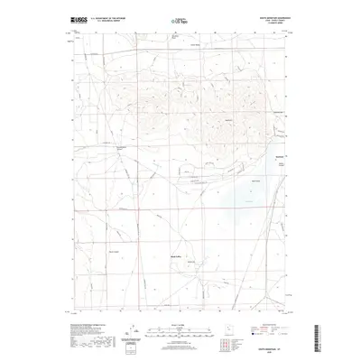
2020 Map of South Mountain
USGS Topo · Published 2020About this map
Stockton occupies a strategic position at the edge of the Tooele Valley, situated near the geological curiosity of the Stockton Bar, a massive ancient shoreline. This landscape is defined by the stark transition from the elevations of South Mtn down into the expansive Rush Valley. To the south, Rush Lake and the waters of Warm Spring and Clover Cr provide vital hydration in an otherwise arid environment. The map details a network of historic transit routes, most notably the Mormon Trl and Mormon Trail Rd, which follow the western base of the mountains. These pathways, alongside the Pacific Rail Rd corridor, illustrate the long-standing importance of this corridor for travel between the valley floors and the rugged canyons like East Hickman Canyon and Welch Canyon.
Find a feature on this map
45 named features on this map. Tap any name to fly to it.
Don’t see what you’re looking for? This feature index may not catch every label — zoom into the map to look around manually.
Map Details
Editions of this 2020 South Mountain Map
This is the sole edition of this map. No revisions or reprints were ever made.
Other maps of this area

1885 · Tooele Valley
USGS Topo · 1:250,000

1918 · Stockton
USGS Topo · 1:62,500

1953 · Tooele
USGS Topo · 1:250,000

1955 · Timpie
USGS Topo · 1:62,500

1955 · Deseret Peak
USGS Topo · 1:62,500

1955 · Grantsville
USGS Topo · 1:24,000

1955 · Stockton
USGS Topo · 1:62,500

1955 · Tooele
USGS Topo · 1:250,000

1955 · Tooele
USGS Topo · 1:24,000

1979 · Rush Valley
USGS Topo · 1:100,000