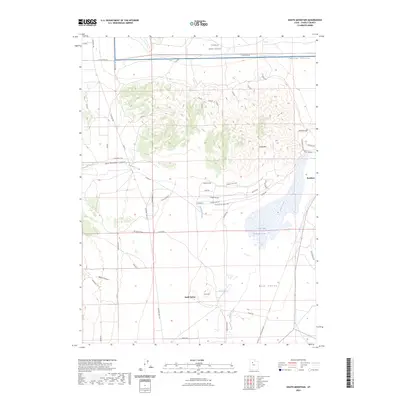
2023 Map of South Mountain
USGS Topo · Published 2023About this map
Stockton sits at the eastern edge of this landscape, situated near the distinctive Stockton Bar that separates Tooele Valley from the northern expanse of Rush Valley. The terrain is dominated by the prominence of South Mtn, with rugged features like East Hickman Canyon and Welch Canyon cutting through the western slopes. Water systems are central to the area's geography, including the seasonal fluctuations of Rush Lake and the drainage of Hickman Creek.
Find a feature on this map
44 named features on this map. Tap any name to fly to it.
Don’t see what you’re looking for? This feature index may not catch every label — zoom into the map to look around manually.
Map Details
Editions of this 2023 South Mountain Map
This is the sole edition of this map. No revisions or reprints were ever made.
Other maps of this area

1885 · Tooele Valley
USGS Topo · 1:250,000

1918 · Stockton
USGS Topo · 1:62,500

1953 · Tooele
USGS Topo · 1:250,000

1955 · Timpie
USGS Topo · 1:62,500

1955 · Deseret Peak
USGS Topo · 1:62,500

1955 · Grantsville
USGS Topo · 1:24,000

1955 · Stockton
USGS Topo · 1:62,500

1955 · Tooele
USGS Topo · 1:250,000

1955 · Tooele
USGS Topo · 1:24,000

1979 · Rush Valley
USGS Topo · 1:100,000