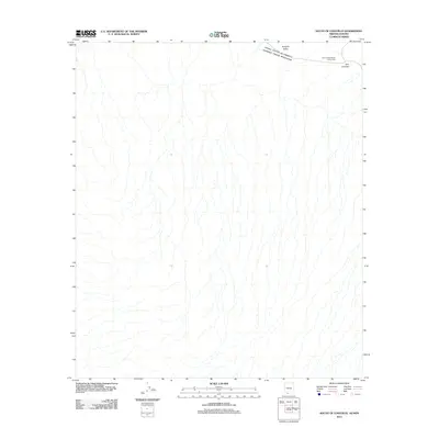
2011 Map of South of Lukeville
USGS Topo · Published 2011About this map
The international boundary between the United States and Mexico defines the northern edge of this landscape, where the arid expanse of the Sonoyta Valley dominates the terrain. This 2011 survey focuses on the border region just south of the port of entry, highlighting the transition into the Sonoran desert. Near the frontier, the settlement of Dos Lomitas serves as a primary reference point, situated alongside the Dos Lomitas Ranch Picnic Area. The map reveals a complex network of ephemeral watercourses and washes that fan out across the valley floor, illustrating the drainage patterns of this cross-border environment.
Find a feature on this map
5 named features on this map. Tap any name to fly to it.
Don’t see what you’re looking for? This feature index may not catch every label — zoom into the map to look around manually.
Map Details
Editions of this 2011 South of Lukeville Map
This is the sole edition of this map. No revisions or reprints were ever made.
Other maps of this area

1954 · Sonoyta
USGS Topo · 1:250,000

1963 · Lukeville
USGS Topo · 1:62,500

1963 · Lukeville
USGS Topo · 1:250,000

1963 · Diaz Peak
USGS Topo · 1:62,500
1988 · Blankenship Well
USGS Topo · 1:24,000
1988 · Lukeville
USGS Topo · 1:24,000
1988 · Diaz Peak
USGS Topo · 1:24,000
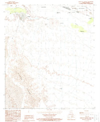
1988 · South of Lukeville
USGS Topo · 1:24,000
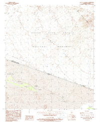
1988 · West of Lukeville
USGS Topo · 1:24,000
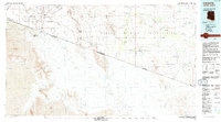
1994 · Lukeville
USGS Topo · 1:100,000