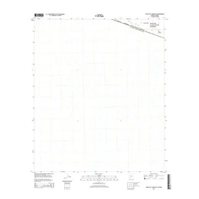
2014 Map of South of Lukeville
USGS Topo · Published 2014About this map
Organ Pipe Cactus National Monument dominates the northeastern corner of this 2014 survey, marking the transition from the United States into the northern reaches of Sonora, Mexico. The terrain is characterized by a network of seasonal watercourses and desert washes that flow southward across the international border. Along this boundary, the settlement of Dos Lomitas sits just inside the American side, serving as a rare named point of reference in an otherwise arid and open landscape. This map captures the precise intersection of Pima Co, Arizona, and the international line, documenting the geography of the borderlands during the early 21st century. The sparse distribution of named features highlights the isolated character of this region, where the primary organizational structures are the jurisdictional lines of the United States of America and Mexico.
Find a feature on this map
5 named features on this map. Tap any name to fly to it.
Don’t see what you’re looking for? This feature index may not catch every label — zoom into the map to look around manually.
Map Details
Editions of this 2014 South of Lukeville Map
This is the sole edition of this map. No revisions or reprints were ever made.
Other maps of this area

1954 · Sonoyta
USGS Topo · 1:250,000

1963 · Lukeville
USGS Topo · 1:62,500

1963 · Lukeville
USGS Topo · 1:250,000

1963 · Diaz Peak
USGS Topo · 1:62,500
1988 · Blankenship Well
USGS Topo · 1:24,000
1988 · Lukeville
USGS Topo · 1:24,000
1988 · Diaz Peak
USGS Topo · 1:24,000
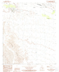
1988 · South of Lukeville
USGS Topo · 1:24,000
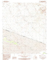
1988 · West of Lukeville
USGS Topo · 1:24,000
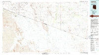
1994 · Lukeville
USGS Topo · 1:100,000