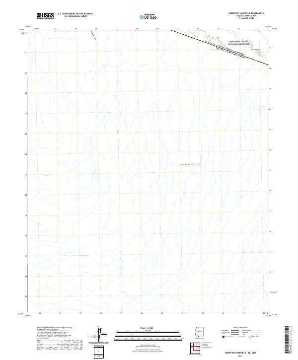
2021 Map of South of Lukeville
USGS Topo · Published 2021About this map
The international boundary between the United States of America and Mexico cuts across the northern edge of this desert landscape, where the Organ Pipe Cactus National Monument meets the border. The terrain is dominated by the expansive Sonoyta Valley, a region of complex drainage patterns and desert washes that run south from the Sonoyta Mountains. At the northeast corner of the map, the small settlement of Dos Lomitas sits near the intersection of the border fence and East Fenceline Road. This 2021 survey by the U.S. Geological Survey provides a detailed record of the contemporary borderlands, illustrating how political boundaries and protected parklands coexist within the broader Sonoran geography.
Find a feature on this map
7 named features on this map. Tap any name to fly to it.
Don’t see what you’re looking for? This feature index may not catch every label — zoom into the map to look around manually.
Map Details
Editions of this 2021 South of Lukeville Map
This is the sole edition of this map. No revisions or reprints were ever made.
Other maps of this area

1954 · Sonoyta
USGS Topo · 1:250,000

1963 · Lukeville
USGS Topo · 1:62,500

1963 · Lukeville
USGS Topo · 1:250,000

1963 · Diaz Peak
USGS Topo · 1:62,500
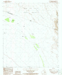
1988 · Blankenship Well
USGS Topo · 1:24,000
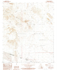
1988 · Lukeville
USGS Topo · 1:24,000
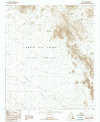
1988 · Diaz Peak
USGS Topo · 1:24,000
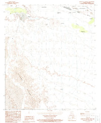
1988 · South of Lukeville
USGS Topo · 1:24,000
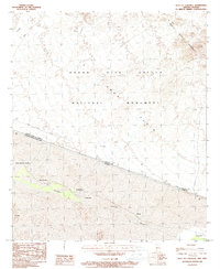
1988 · West of Lukeville
USGS Topo · 1:24,000
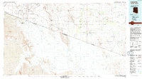
1994 · Lukeville
USGS Topo · 1:100,000