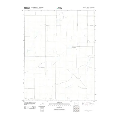
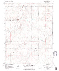
2010 Map of South of Seibert
USGS Topo · Published 2010About this map
New Freidonburg Cemetery provides a historical anchor in this sparsely populated stretch of the High Plains, where the landscape is defined by the section-line grid of the Homestead Act. The terrain is etched by the meandering courses of Spring Creek and the East Branch Spring Creek, which cut across a vast network of gravel routes including County Rd 19 and County Rd 16. This 2010 survey illustrates the modern agricultural layout of eastern Colorado, where development is largely limited to isolated farmsteads connected by an expansive web of rural roads such as County Rd L and County Rd G. The map serves as a precise record of the land ownership patterns and water drainages in this specific corner of Kit Carson County during the early 21st century.
Find a feature on this map
18 named features on this map. Tap any name to fly to it.
Don’t see what you’re looking for? This feature index may not catch every label — zoom into the map to look around manually.
Map Details
Editions of this 2010 South of Seibert Map
This is the sole edition of this map. No revisions or reprints were ever made.
Other maps of this area

1954 · Limon
USGS Topo · 1:250,000

1957 · Limon
USGS Topo · 1:250,000

1958 · Limon
USGS Topo · 1:250,000

1979 · Stratton 3 SE
USGS Topo · 1:24,000

1979 · Vona
USGS Topo · 1:24,000
1979 · Alpine Ranch NW
USGS Topo · 1:24,000
1979 · Stratton 3 SW
USGS Topo · 1:24,000

1979 · Stratton 3 NE
USGS Topo · 1:24,000
1979 · Alpine Ranch SW
USGS Topo · 1:24,000
1979 · South of Flagler Reservoir
USGS Topo · 1:24,000