
1979 Map of Stratton 3 SE
USGS Topo · Published 1979About this map
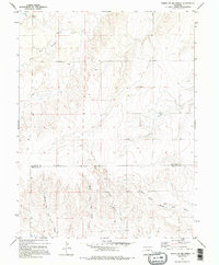
The High Plains landscape of eastern Colorado is defined by a dense network of intermittent drainages that feed into the North Fork Smoky Hill River. This 1970s survey illustrates a region where water management and ranching operations are paramount, indicated by numerous wells scattered across the township and range sections. The boundary between Kit Carson County and Cheyenne County bisects the map, showing a largely rural expanse punctuated by locations such as Duncan and Mills. The complex hydrology of the area is represented by several distinct forks, including East Branch Spring Creek and Middle Fork Big Spring Creek, which carve gentle coulees through the prairie. This map provides a clear record of land use and water features in the decade before modern pivot irrigation transformed much of the local agricultural footprint.
Find a feature on this map
12 named features on this map. Tap any name to fly to it.
Don’t see what you’re looking for? This feature index may not catch every label — zoom into the map to look around manually.
Map Details
Editions of this 1979 Stratton 3 SE Map
2 editions found
Other maps of this area

1891 · Kit Carson
USGS Topo · 1:125,000

1893 · Kit Carson
USGS Topo · 1:125,000

1954 · Limon
USGS Topo · 1:250,000

1954 · Lamar
USGS Topo · 1:250,000

1957 · Limon
USGS Topo · 1:250,000

1958 · Limon
USGS Topo · 1:250,000

1958 · Lamar
USGS Topo · 1:250,000
1979 · Alpine Ranch NW
USGS Topo · 1:24,000
1979 · Stratton 3 SW
USGS Topo · 1:24,000

1979 · Stratton 3 NE
USGS Topo · 1:24,000