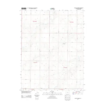
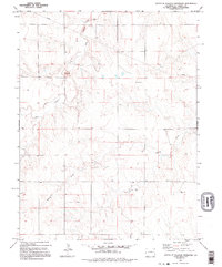
2013 Map of South of Seibert
USGS Topo · Published 2013About this map
New Freidenburg Cem sits atop the high plains of Kit Carson County, providing a historical anchor for the rural families who settled this portion of eastern Colorado. The landscape is defined by the ephemeral drainage patterns of Spring Cr and the East Br Spring Cr, which carve subtle relief into the predominantly agricultural grid. This area, organized under the Public Land Survey System as several townships including t009s r049w and t010s r048w, reflects the late 20th and early 21st-century rural development through its extensive network of section roads. The map's grid of county routes, from Co Road R in the north to Co Road G in the south, indicates the continued importance of the farm-to-market road system and the legacy of homesteading in this dryland farming region.
Find a feature on this map
25 named features on this map. Tap any name to fly to it.
Don’t see what you’re looking for? This feature index may not catch every label — zoom into the map to look around manually.
Map Details
Editions of this 2013 South of Seibert Map
This is the sole edition of this map. No revisions or reprints were ever made.
Other maps of this area

1954 · Limon
USGS Topo · 1:250,000

1957 · Limon
USGS Topo · 1:250,000

1958 · Limon
USGS Topo · 1:250,000

1979 · Stratton 3 SE
USGS Topo · 1:24,000

1979 · Vona
USGS Topo · 1:24,000
1979 · Alpine Ranch NW
USGS Topo · 1:24,000
1979 · Stratton 3 SW
USGS Topo · 1:24,000

1979 · Stratton 3 NE
USGS Topo · 1:24,000
1979 · Alpine Ranch SW
USGS Topo · 1:24,000
1979 · South of Flagler Reservoir
USGS Topo · 1:24,000