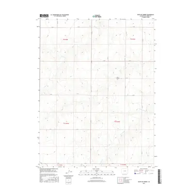
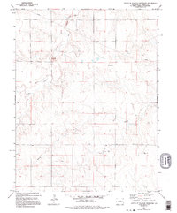
2016 Map of South of Seibert
USGS Topo · Published 2016About this map
New Freidensberg Cem sits on the high plains of Kit Carson County, providing a historical anchor for this rural landscape. The terrain is defined by the winding paths of Spring Cr and its tributary, E Br Spring Cr, which carve subtle drainages across the predominantly agricultural territory. This 2016 survey illustrates the persistent grid of the Public Land Survey System, with township boundaries like t10s r49w and t9s r48w organizing the vast open country south of Seibert.
Find a feature on this map
20 named features on this map. Tap any name to fly to it.
Don’t see what you’re looking for? This feature index may not catch every label — zoom into the map to look around manually.
Map Details
Editions of this 2016 South of Seibert Map
This is the sole edition of this map. No revisions or reprints were ever made.
Other maps of this area

1954 · Limon
USGS Topo · 1:250,000

1957 · Limon
USGS Topo · 1:250,000

1958 · Limon
USGS Topo · 1:250,000

1979 · Stratton 3 SE
USGS Topo · 1:24,000

1979 · Vona
USGS Topo · 1:24,000
1979 · Alpine Ranch NW
USGS Topo · 1:24,000
1979 · Stratton 3 SW
USGS Topo · 1:24,000

1979 · Stratton 3 NE
USGS Topo · 1:24,000
1979 · Alpine Ranch SW
USGS Topo · 1:24,000
1979 · South of Flagler Reservoir
USGS Topo · 1:24,000