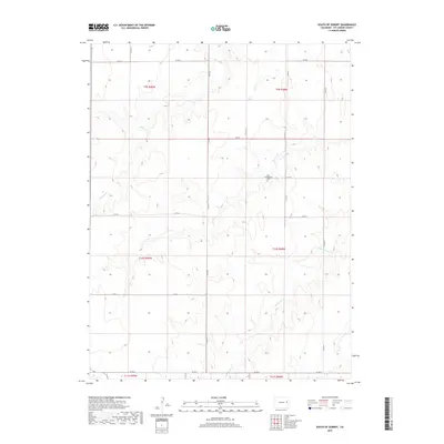
2019 Map of South of Seibert
USGS Topo · Published 2019About this map
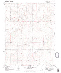
New Freidensberg Cem sits as a quiet landmark within this rural landscape of Kit Carson County, characterized by the drainage patterns of the High Plains. The terrain is defined by the winding paths of Spring Cr and its eastern tributary, E Br Spring Cr, which carve subtle depressions through the agricultural sections. A rigid grid of county roads, including Co RD 19 and Co RD R, organizes the territory into the Public Land Survey System townships of T9S, T10S, and T11S. This 2019 survey documents a region where the vast open spaces are punctuated only by these essential transit lines and isolated cultural markers, reflecting the enduring rural character and sparse settlement typical of eastern Colorado.
Find a feature on this map
20 named features on this map. Tap any name to fly to it.
Don’t see what you’re looking for? This feature index may not catch every label — zoom into the map to look around manually.
Map Details
Editions of this 2019 South of Seibert Map
This is the sole edition of this map. No revisions or reprints were ever made.
Other maps of this area

1954 · Limon
USGS Topo · 1:250,000

1957 · Limon
USGS Topo · 1:250,000

1958 · Limon
USGS Topo · 1:250,000

1979 · Stratton 3 SE
USGS Topo · 1:24,000

1979 · Vona
USGS Topo · 1:24,000
1979 · Alpine Ranch NW
USGS Topo · 1:24,000
1979 · Stratton 3 SW
USGS Topo · 1:24,000

1979 · Stratton 3 NE
USGS Topo · 1:24,000
1979 · Alpine Ranch SW
USGS Topo · 1:24,000
1979 · South of Flagler Reservoir
USGS Topo · 1:24,000