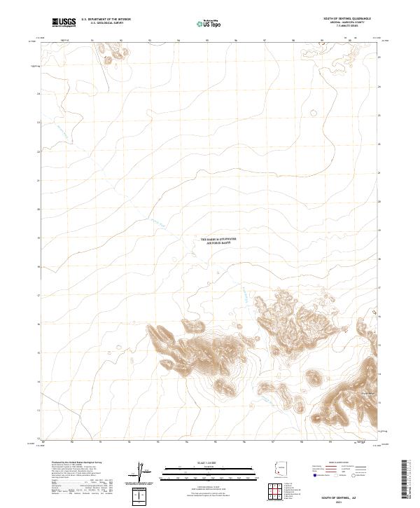
2021 Map of South of Sentinel
USGS Topo · Published 2021About this map
Tenmile Wash carves through this arid stretch of the Sonoran Desert, defining the drainage patterns of the southwestern Maricopa County landscape. In the southern portion of the sheet, the volcanic topography of the Crater Range rises sharply from the desert floor, with intricate contouring illustrating the complex ridges and basins of this geological formation. The map documents the vast, open character of this region as it appeared in 2021, showing a terrain largely defined by these natural features rather than human settlement. The intersection of the desert wash and the rocky outcrops of the range creates a distinct environment for understanding the hydrology and geomorphology of the area south of the Gila River corridor.
Find a feature on this map
8 named features on this map. Tap any name to fly to it.
Don’t see what you’re looking for? This feature index may not catch every label — zoom into the map to look around manually.
Map Details
Editions of this 2021 South of Sentinel Map
This is the sole edition of this map. No revisions or reprints were ever made.
Other maps of this area

1927 · Aguila Mountains
USGS Topo · 1:48,000

1929 · Aztec
USGS Topo · 1:62,500

1930 · Aguila Mountains
USGS Topo · 1:62,500

1949 · Sentinel
USGS Topo · 1:62,500

1950 · Sentinel
USGS Topo · 1:62,500

1950 · Aztec
USGS Topo · 1:62,500

1953 · Ajo
USGS Topo · 1:250,000

1957 · Ajo
USGS Topo · 1:250,000

1958 · Ajo
USGS Topo · 1:250,000

1962 · Ajo
USGS Topo · 1:250,000