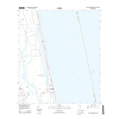
2015 Map of South Ponte Vedra Beach
USGS Topo · Published 2015About this map
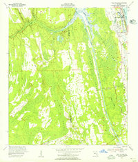
South Ponte Vedra Beach occupies the narrow barrier strand between the Atlantic Ocean and the sprawling marshlands of the Guana River. This coastal landscape is defined by its north-south alignment, where S Ponte Vedra Blvd serves as the primary spine for residential development along the shore. To the west, the river widens into Guana Lake, separated from the main channel of the Tolomato River by a complex network of wetlands and islands.
Find a feature on this map
31 named features on this map. Tap any name to fly to it.
Don’t see what you’re looking for? This feature index may not catch every label — zoom into the map to look around manually.
Map Details
Editions of this 2015 South Ponte Vedra Beach Map
This is the sole edition of this map. No revisions or reprints were ever made.
Other maps of this area

1918 · Palm Valley
USGS Topo · 1:62,500

1937 · Bakersville
USGS Topo · 1:24,000

1937 · St. Augustine
USGS Topo · 1:24,000

1943 · St. Augustine
USGS Topo · 1:62,500

1948 · Jacksonville
USGS Topo · 1:250,000
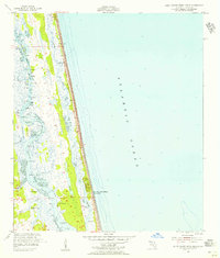
1952 · South Ponte Vedra Beach
USGS Topo · 1:24,000
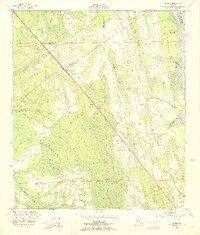
1952 · Durbin
USGS Topo · 1:24,000
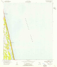
1952 · Mickler Landing
USGS Topo · 1:24,000
1952 · Palm Valley
USGS Topo · 1:24,000

1954 · Daytona Beach
USGS Topo · 1:250,000