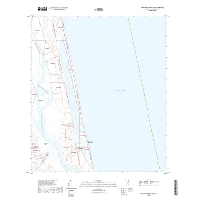
2021 Map of South Ponte Vedra Beach
USGS Topo · Published 2021About this map
South Ponte Vedra Beach sits along a narrow barrier strip between the Atlantic Ocean and the tidal wetlands of the Guana River. This landscape is defined by its complex network of waterways, including the Tolomato River and the Intracoastal Waterway, which carve through the salt marshes to create landforms like Pine Island and Medicis Island. The area is largely dedicated to conservation, as evidenced by the Guana River Wildlife Management Area Trl and the expansive Guana Tolomato Matanzas National Estuarine Research Reserve Trl that wind through the coastal hammock and estuary.
Find a feature on this map
28 named features on this map. Tap any name to fly to it.
Don’t see what you’re looking for? This feature index may not catch every label — zoom into the map to look around manually.
Map Details
Editions of this 2021 South Ponte Vedra Beach Map
This is the sole edition of this map. No revisions or reprints were ever made.
Other maps of this area

1918 · Palm Valley
USGS Topo · 1:62,500

1937 · Bakersville
USGS Topo · 1:24,000

1937 · St. Augustine
USGS Topo · 1:24,000

1943 · St. Augustine
USGS Topo · 1:62,500

1948 · Jacksonville
USGS Topo · 1:250,000
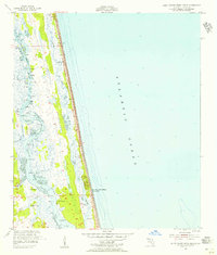
1952 · South Ponte Vedra Beach
USGS Topo · 1:24,000
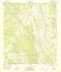
1952 · Durbin
USGS Topo · 1:24,000
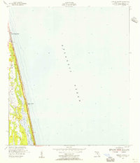
1952 · Mickler Landing
USGS Topo · 1:24,000
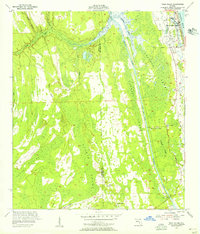
1952 · Palm Valley
USGS Topo · 1:24,000

1954 · Daytona Beach
USGS Topo · 1:250,000