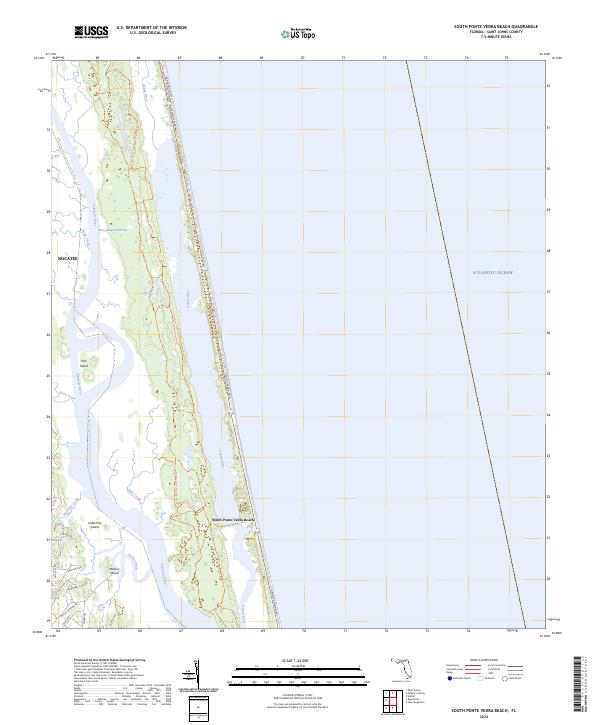
2024 Map of South Ponte Vedra Beach
USGS Topo · Published 2024About this map
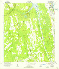
Guana River and the Tolomato River carve a complex estuarine landscape through the heart of this St. Johns County coastal corridor. This contemporary survey captures the modern geography of South Ponte Vedra Beach and the expanding development near Nocatee, illustrating how residential growth interacts with preserved wetlands. The map shows a distinct layering of transportation and recreation, from the high-traffic Ponte Vedra Blvd (A1A) following the Atlantic shoreline to the Florida Circumnavigational Paddling Trl threading through the backwaters. Significant conservation efforts are visible along the Guana River Wildlife Management Area Trl, protecting the salt marshes and maritime hammocks between the rivers. Local landmarks like Medicis Island, Pine Island, and Little Pine Island sit within a network of tidal creeks including Stokes Creek and Marshall Creek, documenting the intricate hydrology of the Intracoastal Waterway corridor.
Find a feature on this map
31 named features on this map. Tap any name to fly to it.
Don’t see what you’re looking for? This feature index may not catch every label — zoom into the map to look around manually.
Map Details
Editions of this 2024 South Ponte Vedra Beach Map
This is the sole edition of this map. No revisions or reprints were ever made.
Other maps of this area

1918 · Palm Valley
USGS Topo · 1:62,500

1937 · Bakersville
USGS Topo · 1:24,000

1937 · St. Augustine
USGS Topo · 1:24,000

1943 · St. Augustine
USGS Topo · 1:62,500

1948 · Jacksonville
USGS Topo · 1:250,000
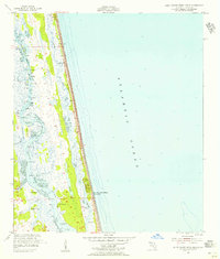
1952 · South Ponte Vedra Beach
USGS Topo · 1:24,000
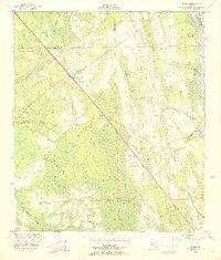
1952 · Durbin
USGS Topo · 1:24,000
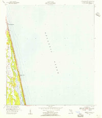
1952 · Mickler Landing
USGS Topo · 1:24,000
1952 · Palm Valley
USGS Topo · 1:24,000

1954 · Daytona Beach
USGS Topo · 1:250,000