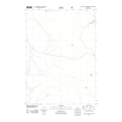
2011 Map of South Putnam Mountain
USGS Topo · Published 2011About this map
Mount Putnam and its southern counterpart South Putnam Mountain define this stretch of the Idaho interior, where the high-elevation terrain is cut by a complex drainage system. The topography is shaped by the flow of Ross Fork and the South Fork Ross Fork, while smaller watercourses like Farmer Creek, Barclay Creek, and McNabb Creek reveal the localized watershed patterns of the Portneuf Range.
Find a feature on this map
19 named features on this map. Tap any name to fly to it.
Don’t see what you’re looking for? This feature index may not catch every label — zoom into the map to look around manually.
Map Details
Editions of this 2011 South Putnam Mountain Map
This is the sole edition of this map. No revisions or reprints were ever made.
Other maps of this area

1937 · Pocatello
USGS Topo · 1:48,000

1940 · Blackfoot
USGS Topo · 1:62,500

1943 · Blackfoot
USGS Topo · 1:62,500

1944 · Pocatello
USGS Topo · 1:62,500

1954 · Pocatello
USGS Topo · 1:250,000

1955 · Yandell Springs
USGS Topo · 1:62,500

1955 · Idaho Falls
USGS Topo · 1:250,000

1958 · Idaho Falls
USGS Topo · 1:250,000

1958 · Pocatello
USGS Topo · 1:250,000

1968 · Bear Camp Gulch
USGS Topo · 1:24,000