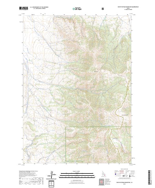
2023 Map of South Putnam Mountain
USGS Topo · Published 2023About this map
The high ridges of the Portneuf Range dominate this Idaho landscape, anchored by the massive profiles of Mt Putnam and South Putnam Mtn. These peaks overlook a complex network of drainage basins and canyons, including the dramatic constriction known as The Narrows along the Ross Fork. This 2023 survey illustrates the modern boundaries and access points within the Caribou National Forest, where a series of primitive trails and forest roads provide the primary infrastructure for navigating the steep terrain.
Find a feature on this map
33 named features on this map. Tap any name to fly to it.
Don’t see what you’re looking for? This feature index may not catch every label — zoom into the map to look around manually.
Map Details
Editions of this 2023 South Putnam Mountain Map
This is the sole edition of this map. No revisions or reprints were ever made.
Other maps of this area

1937 · Pocatello
USGS Topo · 1:48,000

1940 · Blackfoot
USGS Topo · 1:62,500

1943 · Blackfoot
USGS Topo · 1:62,500

1944 · Pocatello
USGS Topo · 1:62,500

1954 · Pocatello
USGS Topo · 1:250,000

1955 · Yandell Springs
USGS Topo · 1:62,500

1955 · Idaho Falls
USGS Topo · 1:250,000

1958 · Idaho Falls
USGS Topo · 1:250,000

1958 · Pocatello
USGS Topo · 1:250,000

1968 · Bear Camp Gulch
USGS Topo · 1:24,000