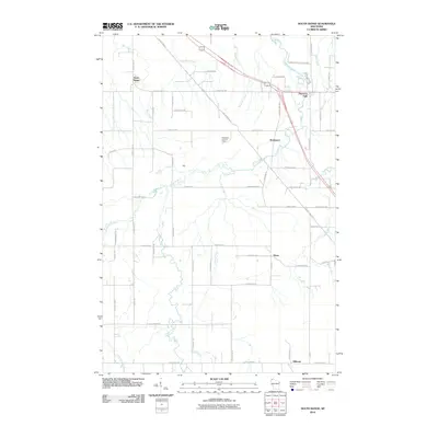
2010 Map of South Range
USGS Topo · Published 2010About this map
The Amnicon River carves a winding path through this Douglas County landscape, punctuated by the dramatic cascades at Amnicon Falls. This 2010 survey illustrates the rural character of northern Wisconsin just south of Lake Superior, where the Amnicon Falls State Park serves as a centerpiece for the region's natural geography. The map captures small settlements like South Range, Rockmont, and Hines, which are linked by a network of county highways and local routes such as E Bayfield Rd and S Swamp Rd.
Find a feature on this map
60 named features on this map. Tap any name to fly to it.
Don’t see what you’re looking for? This feature index may not catch every label — zoom into the map to look around manually.
Map Details
Editions of this 2010 South Range Map
This is the sole edition of this map. No revisions or reprints were ever made.
Other maps of this area

1915 · Superior
USGS Topo · 1:48,000

1917 · Superior
USGS Topo · 1:62,500

1945 · Solon Springs
USGS Topo · 1:48,000

1949 · Solon Springs
USGS Topo · 1:48,000

1949 · Patzau
USGS Topo · 1:48,000

1949 · Poplar
USGS Topo · 1:48,000

1953 · Ashland
USGS Topo · 1:250,000

1953 · Duluth
USGS Topo · 1:250,000

1954 · Sunnyside
USGS Topo · 1:24,000
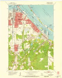
1954 · Superior
USGS Topo · 1:24,000