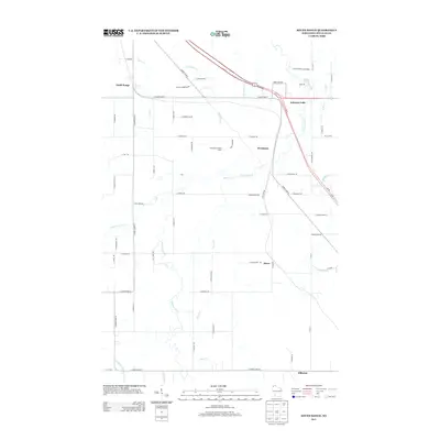
2013 Map of South Range
USGS Topo · Published 2013About this map
Amnicon Falls State Park anchors the northeastern corner of this Douglas County landscape, where the Amnicon River creates the falls that define the local topography. This 2013 survey illustrates a rural-to-suburban transition south of Superior, characterized by a series of small named communities including South Range, Rockmont, Hines, and Hillcrest. The landscape is intricately carved by several waterways, including Silver Cr, Dutchman Cr, and the Middle River, which converge toward the north. Cultural markers like the Flannagan Lookout Tower stand as notable landmarks amidst the network of county highways and local roads such as S County Hwy-K and E County Hwy-B. The arrangement of these settlements along the regional road network reflects the historical development of these northern Wisconsin townships as they grew around river crossings and transportation corridors.
Find a feature on this map
65 named features on this map. Tap any name to fly to it.
Don’t see what you’re looking for? This feature index may not catch every label — zoom into the map to look around manually.
Map Details
Editions of this 2013 South Range Map
This is the sole edition of this map. No revisions or reprints were ever made.
Other maps of this area

1915 · Superior
USGS Topo · 1:48,000

1917 · Superior
USGS Topo · 1:62,500

1945 · Solon Springs
USGS Topo · 1:48,000

1949 · Solon Springs
USGS Topo · 1:48,000

1949 · Patzau
USGS Topo · 1:48,000

1949 · Poplar
USGS Topo · 1:48,000

1953 · Ashland
USGS Topo · 1:250,000

1953 · Duluth
USGS Topo · 1:250,000

1954 · Sunnyside
USGS Topo · 1:24,000
1954 · Superior
USGS Topo · 1:24,000