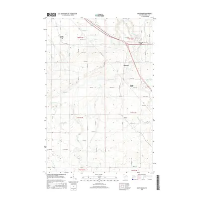
2015 Map of South Range
USGS Topo · Published 2015About this map
Amnicon River drainage patterns define this Douglas County landscape, where the waters of the Little Amnicon River, Dutchman Cr, and Silver Cr carve through the north woods. The 2015 topography highlights the scattered rural communities of South Range, Hines, and Hillcrest, connected by a network of county roads and local routes like Bayfield Rd and Rice Farm Rd. A notable transportation feature is the Tri Co Corridor, a former rail line repurposed as a recreational trail, which cuts across the northern half of the map near Amnicon Falls and Rockmont. The settlement pattern follows the drainages and the rail corridor, reflecting the region's transition from an industrial logging and rail hub to a modern rural and recreational area.
Find a feature on this map
72 named features on this map. Tap any name to fly to it.
Don’t see what you’re looking for? This feature index may not catch every label — zoom into the map to look around manually.
Map Details
Editions of this 2015 South Range Map
This is the sole edition of this map. No revisions or reprints were ever made.
Other maps of this area

1915 · Superior
USGS Topo · 1:48,000

1917 · Superior
USGS Topo · 1:62,500

1945 · Solon Springs
USGS Topo · 1:48,000

1949 · Solon Springs
USGS Topo · 1:48,000

1949 · Patzau
USGS Topo · 1:48,000

1949 · Poplar
USGS Topo · 1:48,000

1953 · Ashland
USGS Topo · 1:250,000

1953 · Duluth
USGS Topo · 1:250,000

1954 · Sunnyside
USGS Topo · 1:24,000
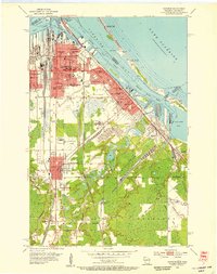
1954 · Superior
USGS Topo · 1:24,000