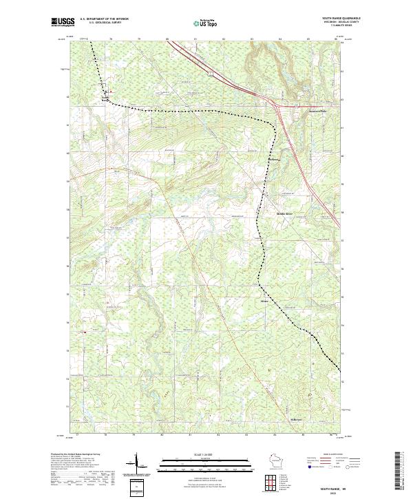
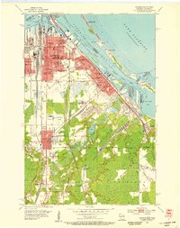
2022 Map of South Range
USGS Topo · Published 2022About this map
The Amnicon River and its numerous tributaries, including Dutchman Cr and Morrison Cr, define this Douglas County landscape south of Lake Superior. This modern survey illustrates a network of rural settlements and transport corridors that follow the natural topography, notably the Tri Co Corridor and the Wild Rivers State Trl. These routes cut diagonally across the traditional township grid, linking communities such as South Range, Rockmont, and Amnicon Falls.
Find a feature on this map
79 named features on this map. Tap any name to fly to it.
Don’t see what you’re looking for? This feature index may not catch every label — zoom into the map to look around manually.
Map Details
Editions of this 2022 South Range Map
This is the sole edition of this map. No revisions or reprints were ever made.
Other maps of this area
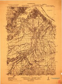
1915 · Superior
USGS Topo · 1:48,000
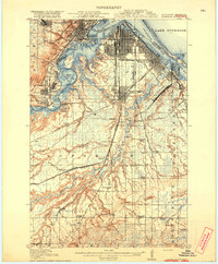
1917 · Superior
USGS Topo · 1:62,500
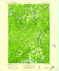
1945 · Solon Springs
USGS Topo · 1:48,000
1949 · Solon Springs
USGS Topo · 1:48,000
1949 · Patzau
USGS Topo · 1:48,000
1949 · Poplar
USGS Topo · 1:48,000

1953 · Ashland
USGS Topo · 1:250,000

1953 · Duluth
USGS Topo · 1:250,000
1954 · Sunnyside
USGS Topo · 1:24,000
1954 · Superior
USGS Topo · 1:24,000