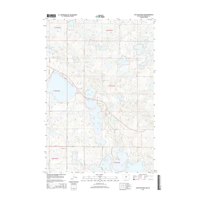
2015 Map of South Red Iron Lake
USGS Topo · Published 2015About this map
Glacial depressions and prairie potholes dominate this Marshall County landscape, where water bodies often carry the names of early local figures and families. Central to the area are the connected basins of N Red Iron Lake and S Red Iron Lake, flanked by numerous smaller wetlands like Pete W Slough and Meyer Slough. The distribution of these water features, including Goodbird Lake and Simmon Lake, reflects the complex post-glacial topography of the Coteau des Prairies.
Find a feature on this map
34 named features on this map. Tap any name to fly to it.
Don’t see what you’re looking for? This feature index may not catch every label — zoom into the map to look around manually.
Map Details
Editions of this 2015 South Red Iron Lake Map
This is the sole edition of this map. No revisions or reprints were ever made.
Other maps of this area

1953 · Milbank
USGS Topo · 1:250,000

1958 · Milbank
USGS Topo · 1:250,000

1958 · Hillhead
USGS Topo · 1:24,000

1958 · Veblen
USGS Topo · 1:24,000

1964 · Claire City SW
USGS Topo · 1:24,000

1970 · Eden
USGS Topo · 1:24,000

1970 · Whitestone Lake
USGS Topo · 1:24,000

1970 · South Red Iron Lake
USGS Topo · 1:24,000

1970 · Lake City
USGS Topo · 1:24,000

1970 · Piyas Lake
USGS Topo · 1:24,000