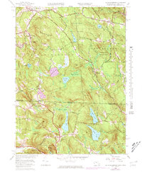
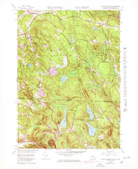
1958 Map of South Sandisfield
USGS Topo · Published 1978About this map
Thousand Acre Swamp and Wolf Swamp dominate the central landscape of this 1958 survey, illustrating the complex hydrology of the Berkshire-Litchfield borderlands. The map traces the winding boundary between Massachusetts and Connecticut, where early settlements like Montville and Southfield were established along high-elevation roads. Local history is preserved through the locations of the North Norfolk Chapel and several family-named burial grounds, including Hulbert Cem and Huxley Cem. To the south, the terrain descends toward West Norfolk and the headwaters of the Whiting River, while the recreation-focused lands of Sandisfield State Forest and Haystack Mountain State Park highlight a mid-century shift toward conservation. Notable water bodies such as East Indies Pond, York Lake, and the expansive Doolittle Lake provide clear landmarks for researchers tracing the historical development of this interstate corridor.
Find a feature on this map
49 named features on this map. Tap any name to fly to it.
Don’t see what you’re looking for? This feature index may not catch every label — zoom into the map to look around manually.
Map Details
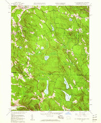
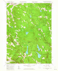
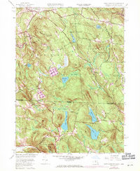
Editions of this 1958 South Sandisfield Map
5 editions found
Other maps of this area

1885 · Sheffield
USGS Topo · 1:62,500

1888 · Sheffield
USGS Topo · 1:62,500

1888 · Sandisfield
USGS Topo · 1:62,500

1891 · Sheffield
USGS Topo · 1:62,500

1892 · Winsted
USGS Topo · 1:62,500

1892 · Cornwall
USGS Topo · 1:62,500

1893 · Sheffield
USGS Topo · 1:62,500

1893 · Cornwall
USGS Topo · 1:62,500

1893 · Sandisfield
USGS Topo · 1:62,500

1897 · Sandisfield
USGS Topo · 1:62,500