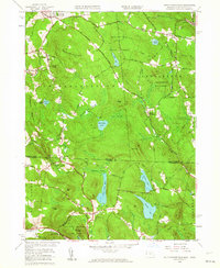
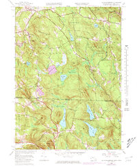
1958 Map of South Sandisfield
USGS Topo · Published 1964About this map
New Marlborough and Sandisfield anchor this 1958 survey of the Berkshire and Litchfield county borderlands. The landscape is defined by its transition from the Massachusetts highlands down toward the Connecticut valley, marked by significant elevation changes at Cooks Ledge and Cleveland Mountain. Local religious and social life is anchored by the North Norfolk Chapel and the YMCA Camp near Harmon Pond.
Find a feature on this map
81 named features on this map. Tap any name to fly to it.
Don’t see what you’re looking for? This feature index may not catch every label — zoom into the map to look around manually.
Map Details
Editions of this 1958 South Sandisfield Map
5 editions found
Other maps of this area

1885 · Sheffield
USGS Topo · 1:62,500

1888 · Sheffield
USGS Topo · 1:62,500

1888 · Sandisfield
USGS Topo · 1:62,500

1891 · Sheffield
USGS Topo · 1:62,500

1892 · Winsted
USGS Topo · 1:62,500

1892 · Cornwall
USGS Topo · 1:62,500

1893 · Sheffield
USGS Topo · 1:62,500

1893 · Cornwall
USGS Topo · 1:62,500

1893 · Sandisfield
USGS Topo · 1:62,500

1897 · Sandisfield
USGS Topo · 1:62,500