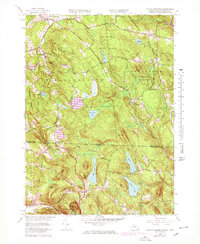
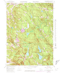
1958 Map of South Sandisfield
USGS Topo · Published 1978About this map
Sandisfield State Forest dominates the high terrain of this borderland, where the southern Berkshire hills of Massachusetts meet the Litchfield County highlands of Connecticut. The landscape is defined by its dramatic relief and water systems, ranging from the prominent Woodruff Mountain to the clustered wetlands of Thousand Acre Swamp and Wolf Swamp. Settlement patterns follow the river valleys, with small centers like Southfield and Montville situated along the winding courses of the Konkapot River and Buck River.
Find a feature on this map
55 named features on this map. Tap any name to fly to it.
Don’t see what you’re looking for? This feature index may not catch every label — zoom into the map to look around manually.
Map Details
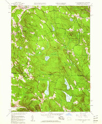
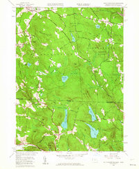
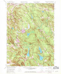
Editions of this 1958 South Sandisfield Map
5 editions found
Other maps of this area

1885 · Sheffield
USGS Topo · 1:62,500

1888 · Sheffield
USGS Topo · 1:62,500

1888 · Sandisfield
USGS Topo · 1:62,500

1891 · Sheffield
USGS Topo · 1:62,500

1892 · Winsted
USGS Topo · 1:62,500

1892 · Cornwall
USGS Topo · 1:62,500

1893 · Sheffield
USGS Topo · 1:62,500

1893 · Cornwall
USGS Topo · 1:62,500

1893 · Sandisfield
USGS Topo · 1:62,500

1897 · Sandisfield
USGS Topo · 1:62,500