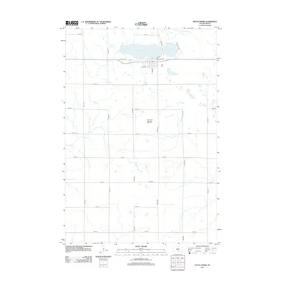
2012 Map of South Shore
USGS Topo · Published 2012About this map
Punished Womans Lake and the town of South Shore anchor this prairie landscape in Codington County. The topography is defined by the prominent Punished Womans Mound to the south, while the rural township grid reflects a legacy of agricultural land divisions. Genealogical interest is centered on Lake View Cem, situated just south of the lake near the intersection of S Main St and E Lakeview Ave. The map details the drainage of the region via the N Fork Yellow Bank River and Mud Cr, showing a transition from open water bodies like Round Lake to seasonal creek beds. This 2012 survey captures the modern road network, from named routes like Round Lake Rd to the numbered avenues and streets that cross the surrounding plains.
Find a feature on this map
26 named features on this map. Tap any name to fly to it.
Don’t see what you’re looking for? This feature index may not catch every label — zoom into the map to look around manually.
Map Details
Editions of this 2012 South Shore Map
This is the sole edition of this map. No revisions or reprints were ever made.
Other maps of this area

1953 · Milbank
USGS Topo · 1:250,000

1953 · Watertown
USGS Topo · 1:250,000

1958 · Milbank
USGS Topo · 1:250,000

1958 · Watertown
USGS Topo · 1:250,000

1969 · Watertown East
USGS Topo · 1:24,000

1970 · Kranzburg
USGS Topo · 1:24,000

1970 · Goodwin
USGS Topo · 1:24,000

1970 · Still Lake SE
USGS Topo · 1:24,000

1970 · Still Lake NE
USGS Topo · 1:24,000

1973 · Twin Brooks
USGS Topo · 1:24,000