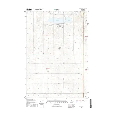
2015 Map of South Shore
USGS Topo · Published 2015About this map
South Shore serves as the primary hub of this 2015 survey, situated just south of the distinctive twin waters of Punished Womans Lake and Round Lake. The village is laid out on a grid including Grandview St, School St, and Main St, while the surrounding landscape is defined by the massive glacial upland of the Coteau des Prairies. This geographic formation creates a complex terrain of potholes and rises, including the prominent Punished Womans Mound to the south of the lakes.
Find a feature on this map
38 named features on this map. Tap any name to fly to it.
Don’t see what you’re looking for? This feature index may not catch every label — zoom into the map to look around manually.
Map Details
Editions of this 2015 South Shore Map
This is the sole edition of this map. No revisions or reprints were ever made.
Other maps of this area

1953 · Milbank
USGS Topo · 1:250,000

1953 · Watertown
USGS Topo · 1:250,000

1958 · Milbank
USGS Topo · 1:250,000

1958 · Watertown
USGS Topo · 1:250,000

1969 · Watertown East
USGS Topo · 1:24,000

1970 · Kranzburg
USGS Topo · 1:24,000

1970 · Goodwin
USGS Topo · 1:24,000

1970 · Still Lake SE
USGS Topo · 1:24,000

1970 · Still Lake NE
USGS Topo · 1:24,000

1973 · Twin Brooks
USGS Topo · 1:24,000