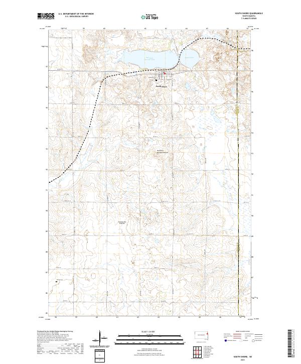
2021 Map of South Shore
USGS Topo · Published 2021About this map
South Shore serves as the primary settlement in this portion of the Coteau des Prairies, a high glacial plateau that defines the regional topography. The landscape is characterized by its numerous glacial lakes and prairie potholes, with Punished Womans Lake and Round Lake anchoring the northern half of the area. These water bodies, along with the N Fork Yellow Bank River, provided the essential resources for early homesteading and town development.
Find a feature on this map
38 named features on this map. Tap any name to fly to it.
Don’t see what you’re looking for? This feature index may not catch every label — zoom into the map to look around manually.
Map Details
Editions of this 2021 South Shore Map
This is the sole edition of this map. No revisions or reprints were ever made.
Other maps of this area

1953 · Milbank
USGS Topo · 1:250,000

1953 · Watertown
USGS Topo · 1:250,000

1958 · Milbank
USGS Topo · 1:250,000

1958 · Watertown
USGS Topo · 1:250,000

1969 · Watertown East
USGS Topo · 1:24,000

1970 · Kranzburg
USGS Topo · 1:24,000

1970 · Goodwin
USGS Topo · 1:24,000

1970 · Still Lake SE
USGS Topo · 1:24,000

1970 · Still Lake NE
USGS Topo · 1:24,000

1973 · Twin Brooks
USGS Topo · 1:24,000