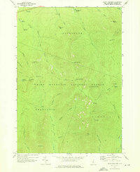
1967 Map of South Twin Mtn
USGS Topo · Published 1976About this map
White Mountain National Forest dominates this topographic survey, capturing a high-elevation landscape defined by the intersection of several famous long-distance hiking routes. The Appalachian Trail follows the high ridges, connecting with the Garfield Ridge Trail and Franconia Ridge Trail to traverse peaks like Mt Garfield and South Twin Mtn. The presence of the Galehead Hut and multiple shelters highlights the area's role as a developed backcountry destination by the late 1960s.
Find a feature on this map
49 named features on this map. Tap any name to fly to it.
Don’t see what you’re looking for? This feature index may not catch every label — zoom into the map to look around manually.
Map Details
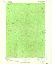
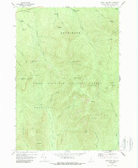
Editions of this 1967 South Twin Mtn Map
3 editions found
Other maps of this area

1893 · Mt. Washington
USGS Topo · 1:62,500

1895 · Crawford Notch
USGS Topo · 1:62,500

1896 · Mt. Washington
USGS Topo · 1:62,500

1896 · Crawford Notch
USGS Topo · 1:62,500

1900 · Whitefield
USGS Topo · 1:62,500

1929 · Franconia
USGS Topo · 1:62,500

1932 · Franconia
USGS Topo · 1:62,500

1935 · Whitefield
USGS Topo · 1:48,000

1935 · Mt. Washington
USGS Topo · 1:62,500
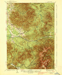
1938 · Mt. Washington
USGS Topo · 1:62,500