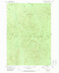
1967 Map of South Twin Mtn
USGS Topo · Published 1988About this map
White Mountain National Forest dominates this topographic study, captured just before the 1970s. The landscape is defined by the high peaks of the Twin Range and the Franconia Range, including South Twin Mtn and North Twin Mtn. Mountaineering infrastructure of the era is well-documented, from the remote Galehead Hut to various Shelter locations along the high ridges. Hikers and historians can trace the mid-century alignment of the Appalachian Trail as it traverses the Garfield Ridge Trail toward Mt Guyot.
Find a feature on this map
45 named features on this map. Tap any name to fly to it.
Don’t see what you’re looking for? This feature index may not catch every label — zoom into the map to look around manually.
Map Details
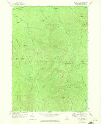
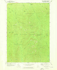
Editions of this 1967 South Twin Mtn Map
3 editions found
Other maps of this area

1893 · Mt. Washington
USGS Topo · 1:62,500

1895 · Crawford Notch
USGS Topo · 1:62,500

1896 · Mt. Washington
USGS Topo · 1:62,500

1896 · Crawford Notch
USGS Topo · 1:62,500

1900 · Whitefield
USGS Topo · 1:62,500

1929 · Franconia
USGS Topo · 1:62,500

1932 · Franconia
USGS Topo · 1:62,500

1935 · Whitefield
USGS Topo · 1:48,000

1935 · Mt. Washington
USGS Topo · 1:62,500
1938 · Mt. Washington
USGS Topo · 1:62,500