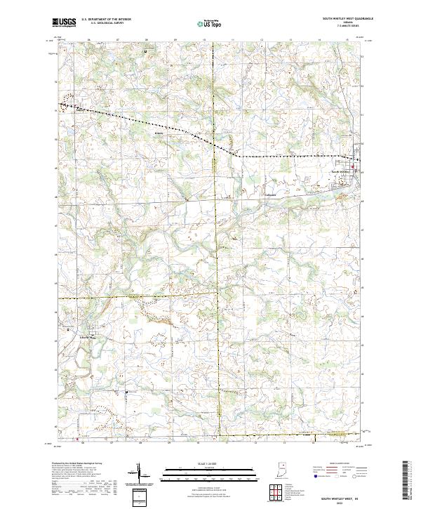
2022 Map of South Whitley West
USGS Topo · Published 2022This historical map portrays the area of South Whitley West in 2022, primarily covering Whitley County as well as portions of Huntington County, Wabash County, and Kosciusko County. Featuring a scale of 1:24000, this map provides a highly detailed snapshot of the terrain, roads, buildings, counties, and historical landmarks in the South Whitley West region at the time. Published in 2022, it is the sole known edition of this map.
Map Details
Editions of this 2022 South Whitley West Map
This is the sole edition of this map. No revisions or reprints were ever made.
Historical Maps of Sidney Through Time
9 maps found
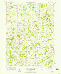
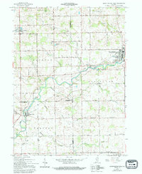
1956 Lorane
Whitley County, IN
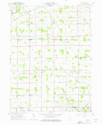
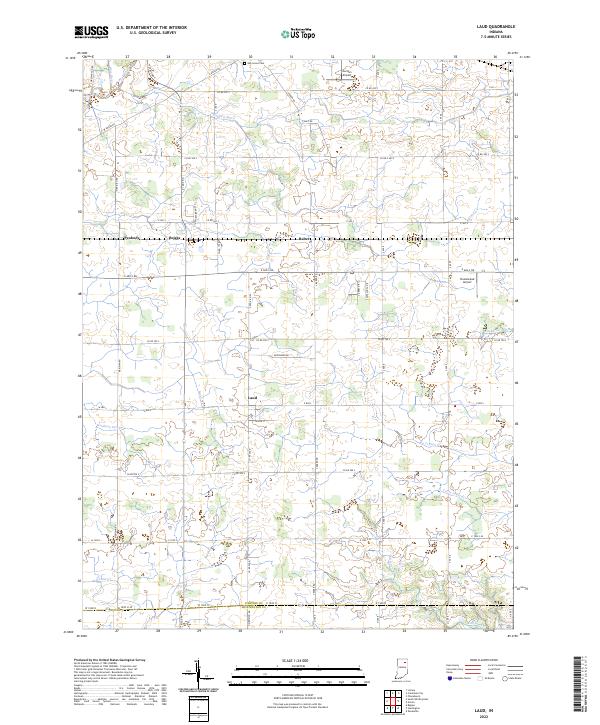
1961 Laud
Whitley County, IN
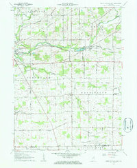
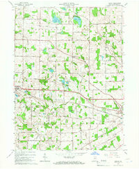
1962 South Whitley East
Whitley County, IN
1962 South Whitley West
Whitley County, IN
1965 Lorane
Whitley County, IN
2022 Laud
Whitley County, IN
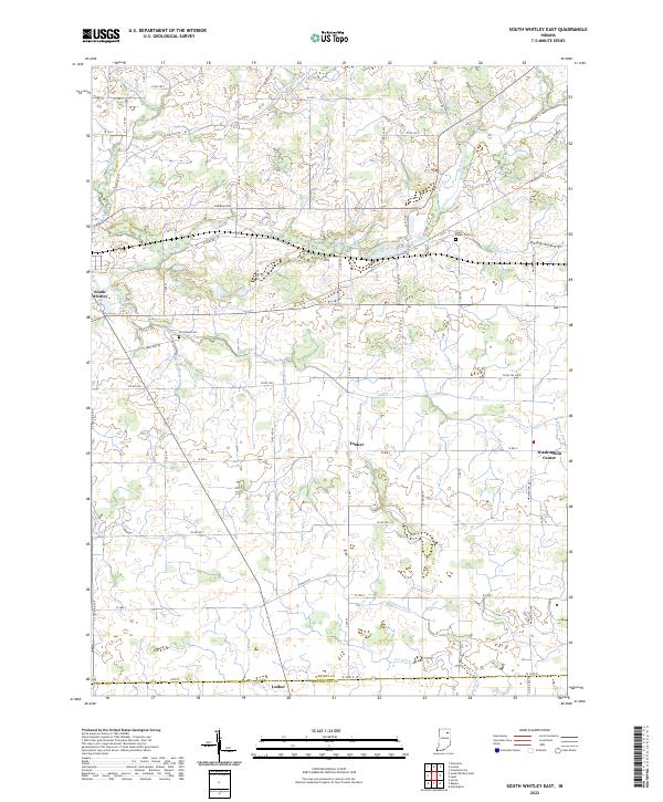
2022 South Whitley East
Whitley County, IN
2022 South Whitley West
Whitley County, IN
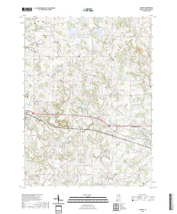
2023 Lorane
Whitley County, IN