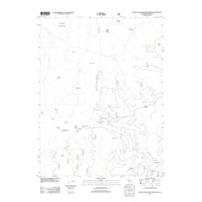
2012 Map of South Yolla Bolly Mountains
USGS Topo · Published 2012About this map
The South Yolla Bolly Mountains dominate this high-altitude landscape of Tehama County, reaching their apex at Mount Linn. This remote terrain is defined by a network of seasonal camps and specialized outposts that speak to a history of wilderness use, including Prine Cabin, Thunder Camp, and Syd Cabin Glade. Access to the interior is marked by the Ideas Cove Trailhead and Horsepacker Trailhead, pointing toward the high basins where Long Lake and Square Lake are located. The map reveals an intricate system of forest routes like Colyear Springs Rd and Raglin Ridge Rd that navigate the ridges and gulches, connecting landmarks such as the Pole Corral and Browns Camp amidst the headwaters of S Fork Cottonwood Cr and N Fork Elder Cr.
Find a feature on this map
65 named features on this map. Tap any name to fly to it.
Don’t see what you’re looking for? This feature index may not catch every label — zoom into the map to look around manually.
Map Details
Editions of this 2012 South Yolla Bolly Mountains Map
This is the sole edition of this map. No revisions or reprints were ever made.
Other maps of this area

1890 · Red Bluff
USGS Topo · 1:250,000

1894 · Red Bluff
USGS Topo · 1:250,000

1949 · Colyear Springs
USGS Topo · 1:62,500

1952 · Paskenta
USGS Topo · 1:62,500

1952 · Anthony Peak
USGS Topo · 1:62,500

1954 · Yolla Bolly
USGS Topo · 1:62,500

1957 · Colyear Springs
USGS Topo · 1:62,500

1957 · Ukiah
USGS Topo · 1:250,000

1958 · Redding
USGS Topo · 1:250,000

1960 · Ukiah
USGS Topo · 1:250,000