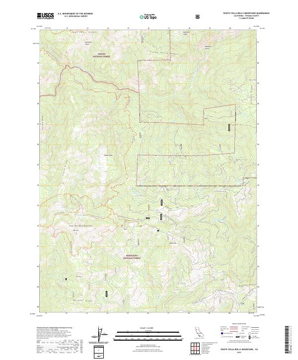
2021 Map of South Yolla Bolly Mountains
USGS Topo · Published 2021About this map
The South Yolla Bolly Mountains dominate this high-altitude landscape along the border of Trinity National Forest and Mendocino National Forest. Centered on the summit of Mt Linn, the topography defines a region of steep ridges and glades utilized primarily for wilderness recreation and forest management. A network of pack trails, including the South Yolla Bolly Trl and Cottonwood Trl, connects high-country landmarks like Ides Cove and Long Lake. The map reveals the intricate drainage patterns of the S Fork Cottonwood Cr and N Fork Elder Cr, highlighting the importance of seasonal water sources such as Harding Spring and Valentine Spring in this high-elevation environment. Points of interest like Browns Camp and Syd Cabin Ridge reflect the area's history of backcountry shelter and exploration.
Find a feature on this map
47 named features on this map. Tap any name to fly to it.
Don’t see what you’re looking for? This feature index may not catch every label — zoom into the map to look around manually.
Map Details
Editions of this 2021 South Yolla Bolly Mountains Map
This is the sole edition of this map. No revisions or reprints were ever made.
Other maps of this area

1890 · Red Bluff
USGS Topo · 1:250,000

1894 · Red Bluff
USGS Topo · 1:250,000

1949 · Colyear Springs
USGS Topo · 1:62,500

1952 · Paskenta
USGS Topo · 1:62,500

1952 · Anthony Peak
USGS Topo · 1:62,500

1954 · Yolla Bolly
USGS Topo · 1:62,500

1957 · Colyear Springs
USGS Topo · 1:62,500

1957 · Ukiah
USGS Topo · 1:250,000

1958 · Redding
USGS Topo · 1:250,000

1960 · Ukiah
USGS Topo · 1:250,000