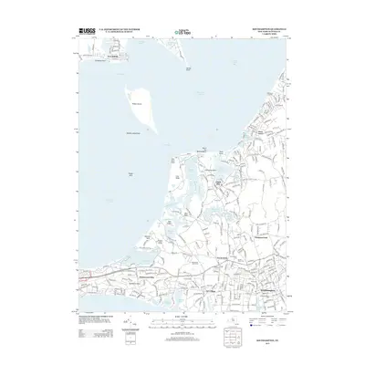
2013 Map of Southampton
USGS Topo · Published 2013About this map
Southampton and its surrounding coastal communities are meticulously documented in this 2013 survey, which highlights the area's intricate network of inlets, ponds, and historic burial grounds. The map captures the specialized character of the East End, from the residential pockets of Art Village and Shinnecock Hills to the maritime edges of Little Peconic Bay. Significant genealogical interest lies in the concentration of cemeteries, including Southampton Cem and N End Cem, alongside the storied Sacred Hearts Cem.
Find a feature on this map
56 named features on this map. Tap any name to fly to it.
Don’t see what you’re looking for? This feature index may not catch every label — zoom into the map to look around manually.
Map Details
Editions of this 2013 Southampton Map
This is the sole edition of this map. No revisions or reprints were ever made.
Other maps of this area

1903 · Sag Harbor
USGS Topo · 1:62,500

1903 · Riverhead
USGS Topo · 1:62,500

1904 · Sag Harbor
USGS Topo · 1:62,500

1904 · Shelter Island
USGS Topo · 1:62,500

1904 · Riverhead
USGS Topo · 1:62,500

1943 · Riverhead
USGS Topo · 1:62,500

1946 · Sag Harbor
USGS Topo · 1:24,000

1947 · Mattituck
USGS Topo · 1:24,000

1947 · Mattituck Hills
USGS Topo · 1:24,000

1947 · Southold
USGS Topo · 1:24,000